|
April 13-15, 2001: Visiting Ron and Prudence in San Antonio |
|
March 3-11, 2001: A Trip to Fort Lauderdale |
|
Return to the Index for 2001 |
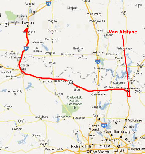
Every so often, Fred likes to visit the Wichita Mountains up in Oklahoma. He introduced them to me shortly after we met, and we have been there a number of times since. We like to do many of the same things repeatedly, but every hike is a bit different each time we do it. My favorite thing is the boulder avalanche on Mt. Scott, but I don't like carrying a camera when I hike it because I need both hands for balance as we jump from rock to rock. (Later in this album, after both Fred and I start using digital cameras, I will have one small enough to fit in my pocket, and I will take more pictures of the avalanche then.)
Getting to the Wichita Mountains
|
|
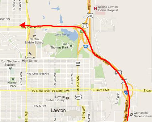
The Super 8 Motel where we were going to stay was on the north side of town, so we just continued past downtown on I-44 to get off at Cache Road; the Super 8 was less than a mile on our right. We got there just about midnight.
|
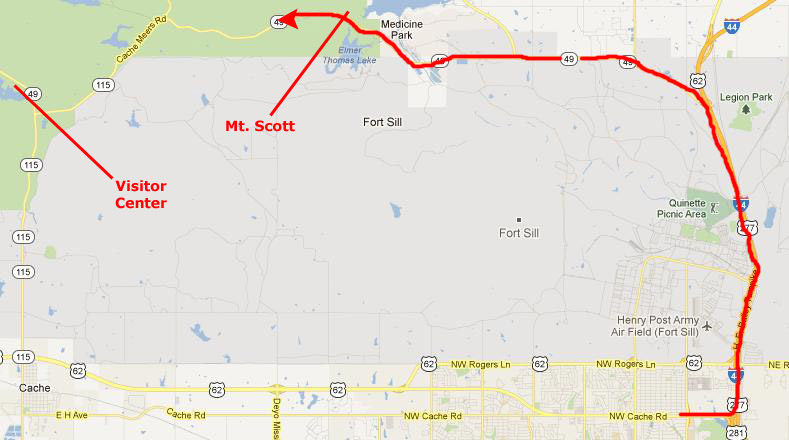
The actual Visitor Center is a good ways inside the park by Quanah Parker Lake, although we understand that a new one is going to be built a couple of miles southeast of the lake, east of the intersection of Highway 49 to the northwest and Highway 115 that heads south into west Lawton.
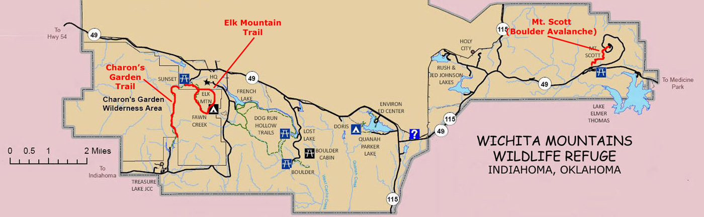
For this short weekend, and considering we didn't take that many photographs, I'll just have a section here for each hike we did- two on Saturday and one, the Boulder Avalanche up Mt. Scott, on Sunday. As I said, I didn't take my camera on that one. If you'd like to see where these hikes are in the Wildlife Refuge, you can have a look at the refuge diagram in the scrollable window below:
|
Hiking Up Elk Mountain
|
|
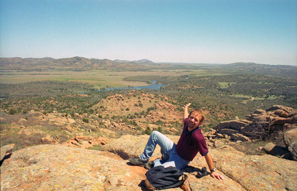
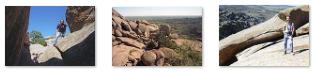
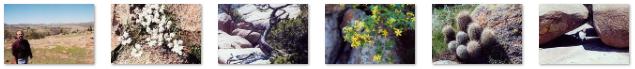
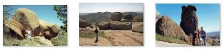
The hike up Elk Mountain is always a pleasure; the views are tremendous, and there are always interesting rock formations to observe and climb on. We took a number of additional pictures on our way up and down the trail, and you can click on the thumbnails below to see these pictures:
|
The Charon's Garden Trail
|
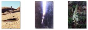
Along much of its length, the trail looks up at Elk Mountain to the east; we took three good pictures along the hike, and there are clickable thumbnails for them below:
 |
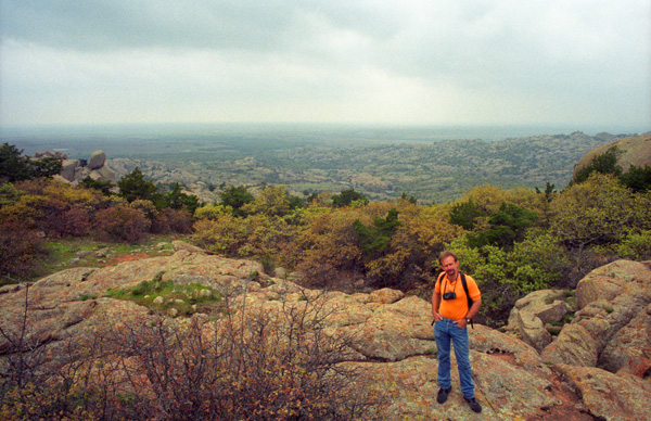
Hiking up Mt. Scott
|
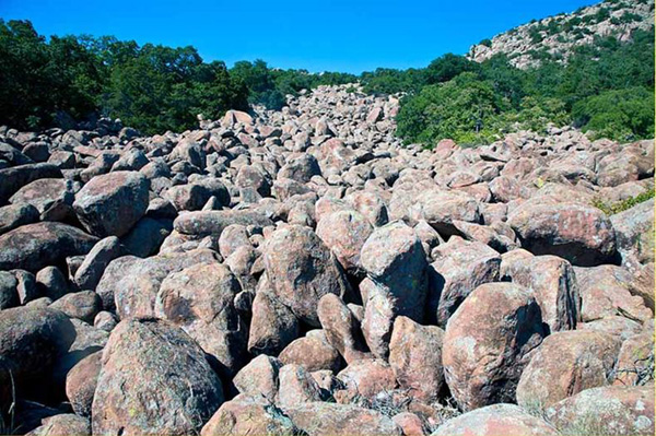
On the south side of the mountain, however, is the "boulder avalanche," which is another way to get to the top. When we climb the boulder field, we leave our cameras in the car, usually, because having something around your neck swinging back and forth as you boulder-hop is disconcerting (you need both hands for balance and to block a possible fall should you lose that balance). On a previous trip, when I did take it with me, it accidentally hit one of boulders. Though not damaged, I thought it better on subsequent climbs just to leave it behind. Before we started out, though, I took this picture of the avalanche looking up at it from the bottom.
The boulder field heads straight up for quite a ways, and then curves around to the east to continue all the way to the top. At two points, it crosses the spiral road. It takes about ninety minutes to get to the top, and perhaps a little more to get down (since hopping DOWN onto boulders has to be done a bit more carefully so your forward momentum doesn't cause you to pitch forward and go further than you intended).
We enjoyed the hike again as we always do, and we were back down to the car by about three, when we headed off back to Fred's house in Van Alstyne.
You can use the links below to continue to another photo album page.
|
April 13-15, 2001: Visiting Ron and Prudence in San Antonio |
|
March 3-11, 2001: A Trip to Fort Lauderdale |
|
Return to the Index for 2001 |