|
April 13, 2013: The Dallas Opera at Cowboy Stadium |
|
March 31, 2013: "Dallas Blooms!" at the Dallas Arboretum |
|
Return to the Index for 2013 |
This week, Fred and I have planned a trip down to San Antonio to visit with Ron and Prudence. Our visit with them will correspond with a visit Guy has planned from South Dakota, and as an added bonus, Karl and Nancy will be down there as well. So the whole gang will be together for a while. We have been down to visit Ron and Prudence so frequently that we don't take all that many photos anymore, but we did do a couple of different things on this trip. I'll just group the photos for this page into categories, regardless of when they were taken.
Driving to Ruckman Haus
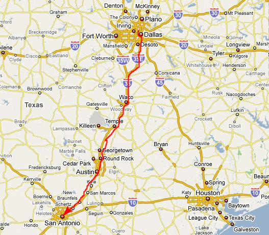 |
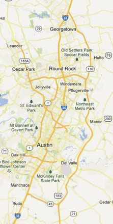
We now have a choice when we go through Austin; we can either follow I-35 all the way through town (a route that is sometimes slow and congested) or we can take the new bypass around the city of Austin (something we did for the first time earlier this year). With the girls along, I thought it best to stick to the more well-traveled I-35 route in case they wanted to stop somewhere (which, as it turned out, they did). There is not much in the way of services along the bypass.
Actually, the only reason to take the bypass would be if you were pressed for time; it is almost empty and the speed limit is 85. It does require a toll of about $10, which also only makes it attractive if you happen to know that I-35 through town is clogged (as it can be during rush hours).
|
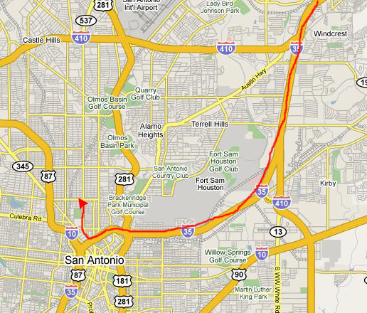
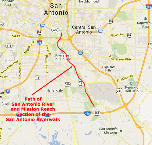
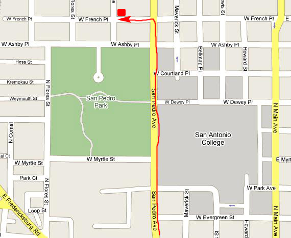
Once in downtown San Antonio, all you have to do is follow I-35 South until you come to the exit for San Pedro Avenue. Once off the expressway, you just take San Pedro Avenue north. You can see this route on the far right-hand map.
 |
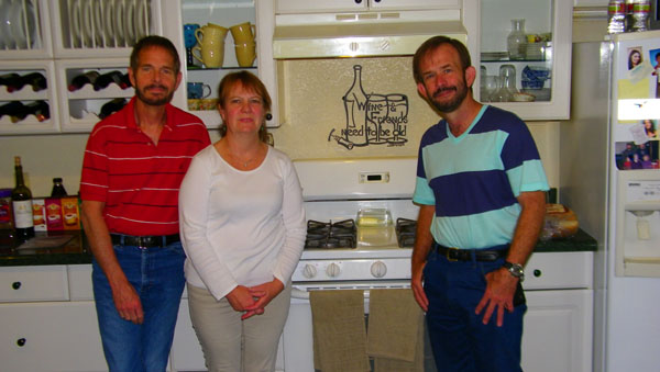
A Gift from the Las Olas Art Fair
|
As you can see here, it has a wine bottle and the phrase "wine and friends need to be old." We thought it would go nicely somewhere in Prudence's kitchen, and one of the first things we did on this trip was help her mount it on the wall. She chose the spot above the gas range where it would be most visible.
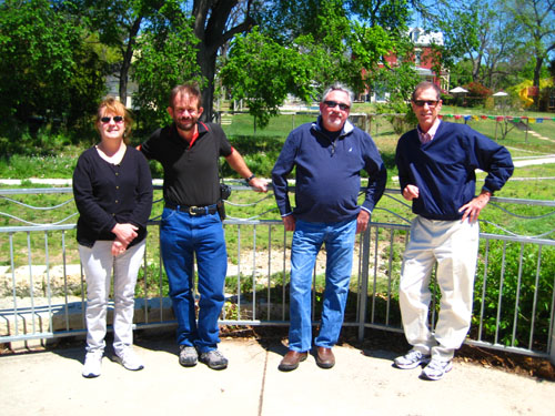
We had Guy take a picture of the three of us in front of the artwork, and you can see that picture at left.
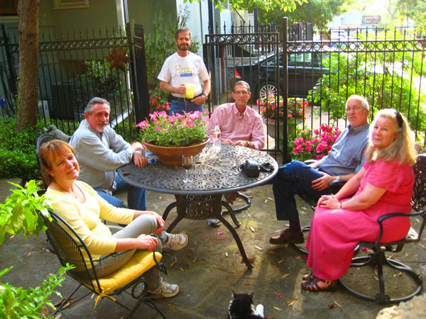
At Ruckman Haus
|
Below are clickable thumbnails for a couple of other pictures I took that evening:
 |
|
|
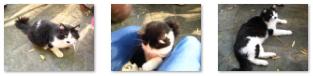
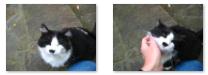
I have also probably mentioned before that Prudence has been feeding and otherwise taking care of two feral cats that habitually visit her patio- Allie and Spot. Allie is still extremely skittish, and won't get near people, but although Spot started out the same way, he is now extremely friendly, and will actually submit to trips to the vet for shots and checkups. Spot likes to be around people; Prudence's guests often comment that when they are on the patio he is usually looking for some attention.
When we were sitting by the waterfall, Spot came down to be nearby, and Fred used my camera to take quite a few pictures of him. Some weren't much good, but I have put clickable thumbnails below you can use to see the ones that were:
|
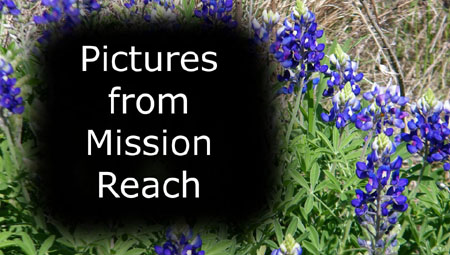
A Walk Along the New "Mission Reach" Section of the Riverwalk
|
The transformation will change what is now a weedy ditch into a more natural-looking landscape of hiking trails and bike paths, and will tie the city together from the river�s source at Incarnate Word University on the North to Mission Espada, just below Interstate 410 on the South. When completed, a 13-mile linear park will run through San Antonio from north to south. Civic leaders see it as a way of uniting the north side of the city, where almost all of the new development has taken place, with the underutilized and often overlooked south.
The river has always been there. Native Americans camped and hunted along its banks, and Spanish explorers came in 1691, naming it in honor of Saint Anthony. For centuries, the river served as the city's main artery of life and culture. Fifty years ago, a federal flood control project smoothed and straightened the river along the south side, concreted the banks and turned it into a large ditch.
Planning for the overall project began in the late 1990s to improve the river north and south of the existing San Antonio River Walk, a Depression-era project that is now a downtown tourist must-see. Museum Reach, the northern portion of the project, was completed in May 2009. It ties the river from the San Antonio Art Museum to downtown, and has already given birth to a renaissance of the the old Pearl Brewery into a complex of cafes and living spaces. We've walked that section frequently, and in this album you have already seen the section in detail.
A three-mile extension (the Eagleland Project) has now been completed; it runs from the Downtown RiverWalk south past the Blue Star Art complex on Guenther Street to the start of Mission Reach near the old Lone Star Brewery. We have also walked this section before, and, again, you have probably seen our pictures and movies of it already.
|
But everyone involved stresses that Mission Reach is not designed to be a mini-RiverWalk or a collection of cafes and bars (population density simply would not support that). It is designed more to highlight recreation and the Missions- and to make the south side a more attractive place to live. Mission Reach will restore the river to a more natural state, by planting native grasses, plants and trees and reclaiming more than 113 acres for aquatic habitat.
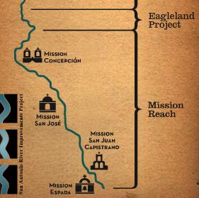
Additionally, the project will restore a portion of the river channel near the the four missions- Mission Concepcion, Mission San Juan Capistrano, Mission San Jose and Mission San Francisco de Espada- to re-connect the four historic structures with their agricultural beginnings. The project calls for construction of "portals" at each mission, marked with special stone gateways, that will link directly to the river, making it easier for visitors to reach. For the first time, San Antonio residents with the gumption to do so will be able to walk or bike from downtown to the Missions in a safe, pastoral environment- without having to negotiate city streets and traffic.
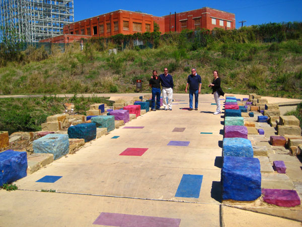
The Eagleland Section
 |
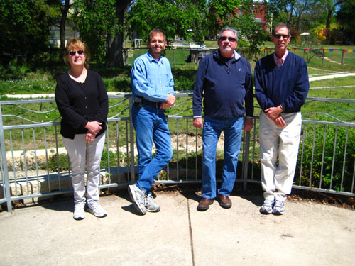 |
Near the artist enclave there is a an overlook, and we all paused so Fred and I could switch out and get pictures of the whole group; you can see these above.
|
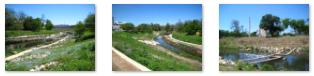
The Eagleland Project is not like the Museum Reach section; there are no shops or restaurants (save for Blue Star) and the section goes through an open, wild area, so there is little landscaping- save for the walkways and a couple of river crossings. So the walk is all out in the sunlight. Click on the thumbnails below for some pictures along the Eagleland section:
 |
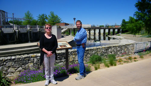
This brought us to the beginning of the newest section of the Riverwalk System- Mission Reach. At this starting point for the new section, there was an informative sign that was interesting to read. Just click on the link below and I'll pop it up in a scrollable window so you can read it, too:
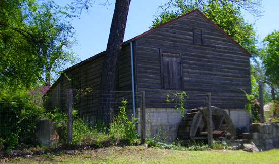
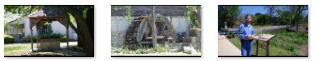
The Yturri-Edmunds House and Mill
|
Below are clickable thumbnails for some of the pictures we took here:
|
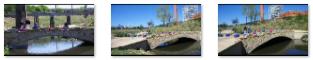
A River Crossing
|
I wanted to get a good picture of everyone, but we had no tripod. Fortunately, as we were standing on the bridge, an Australian on a three‑wheeled recumbent bike came by going upriver. He and his companion, who was riding a normal bicycle, were vacationing in the States, and had brought their bikes with them. He was nice enough to use our cameras to get a few pictures of the five of us. His best effort was with Fred's camera, and you can see it here.
We took a few more good pictures of this interesting crossing both as we headed south and then later back north. You can use the clickable thumbnails below to see some of them:
 |
Scenery Along Mission Reach
|
To view the slideshow, just click on the image at left and I will open the slideshow in a new window. In the slideshow, you can use the little arrows in the lower corners of each image to move from one to the next, and the index numbers in the upper left of each image will tell you where you are in the series. When you are finished looking at the pictures, just close the popup window.
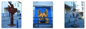
At Blue Star
|
Those are all the pictures for this particular trip to San Antonio. We enjoyed seeing Guy (and planning our trip up to his neck of the woods at the end of May). And, of course, we are always indebted to Ron and Prudence for their hospitality.
You can use the links below to continue to another photo album page.
|
April 13, 2013: The Dallas Opera at Cowboy Stadium |
|
March 31, 2013: "Dallas Blooms!" at the Dallas Arboretum |
|
Return to the Index for 2013 |