|
February 15 - February 28, 2023: Our Winter Trip to Florida- Part 2 |
|
January 4 - January 17, 2023: Our Winter Trip to Florida- Part 1 |
|
Return to the Index for 2023 |
This page is a continuation of the pictures from our trip this time to Ecuador. If you wish to return to the previous page for this trip, please click the link below.
A Trip to Quito to Get Our Cedulas
Ecuador has a national ID card; it is called a "cedula". It is similar to a driver's license at the state level at home. You can think of anytime in the States you are asked for your ID (usually a driver's license); you will be asked for your cedula (or you can just rattle off its number) in the same situations here. The cedula is different from a visa, and foreign visitors who don't spend much time in Ecuador can just use their passport number.
|
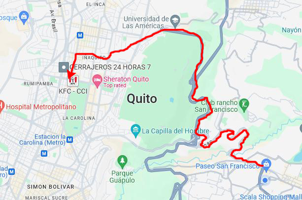
As it turned out, the Registry office was at the north end of La Carolina, which is similar to New York's Central Park; there are lots of walkways, walking paths, activities, and so on. It is surrounded by the city's urban landscape (buildings). There are other parks in the area that are larger, but they are on the outskirts of the urban area- often in hilly areas and not easily accessible by urban dwellers on foot.
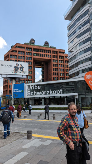
So instead of going through the tunnel to central Quito, the taxi driver took us along the east side of the mountains that separate Quito from the Tumbaco Valley and then around the north end of those hills and into North Quito. Then he wound his way a bit west and south to bring us to the Registry Office (at the right in this picture, taken just after the taxi dropped us off). There, we were met by one of the representatives of the visa company we'd been working with, and he shepherded us through the process. Before we went in, Fred took a picture of Greg and me outside the Registry. This view looks west at the hills on the other side of the valley where Quito is located.
It was like getting a driver's license. We got seats in a waiting area until we were called to one of the clerks. We had our photos taken and we signed some forms, and then we went to a different area to wait a bit longer before we were called up to a window where our actual cedulas were ready for us. The whole process took about an hour, and we were happy to have the representative with us to explain the process and talk with the clerks.
|
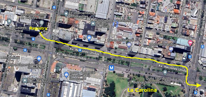
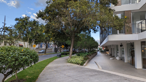
The first part of the walk saw us on the same side of the street as the Registry Office as we walked a couple of blocks to one of Quito's larger shopping malls.
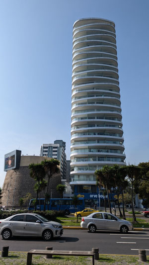
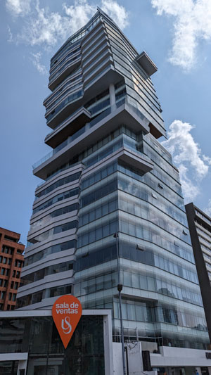
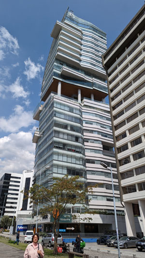
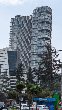
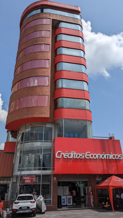
I must say that on our first trip to Quito, to the Notary, we were impressed by a building or two where it seemed the architect had been on a flight of fancy. Today, we found that unusual architecture is not unusual all over Quito. Here are some pictures we took on the first part of our walk that highlight some of these unusual structures:
|
|
|
|
As it turned out, the office where you get a cedula (much like the offices you visit to get your drivers license renewed or issued), was on a corner along Av. Naciones Unidas. This main thorofare is the north side boundary of Quito's "Central Park", called Parque Carolina.
|
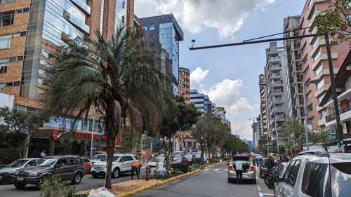
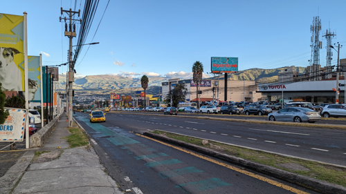
Anyway, we were to meet a representative of the company we worked with to get our visas and cedula, but we had a half-hour before he was supposed to meet us, so we had plenty of time to walk up and down the street a bit and take in this area of new, modern Quito. It was a beautiful day, great for taking pictures, but right now we were really focused on meeting our representative and having him shepherd us through the process of getting the cedula which, as it turned out, was quite similar to getting a drivers license for the first time (but no driving test, thankfully). There were various stations to go to, for form-filling, picture-taking, and so on, but within the hour the three of us walked out with our cedulas. These, as it turned out, would enable us to navigate everything more easily (although we could have used our passports), but they identified us as not only visa holders but also residents of one of the Quito suburbs. They were also, I might mention, the key to getting us half- or more off lots of things, as they identified us as members of the "tres edad"- the third age. Ecuador's name for senior citizens.
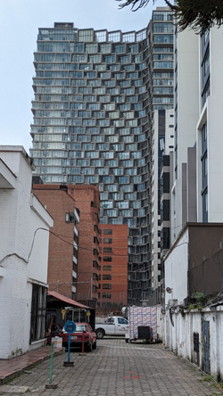
On our walk west, interesting pictures were everywhere:
|
|
|
|
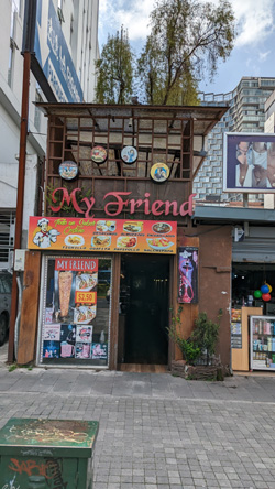
Just walking along the avenue was an experience, with Parque Carolina on our right. There was interesting architecture all around, and many opportunities for capturing vignettes of life here in "new" Quito. Not all of these pictures will be interesting to you, so let me put the best of them in a slideshow that you can move through quickly.
|
|
|
We walked east along the avenue for a ways, and then turned down a street that paralleled the park but was a block or two east of it. There, we found a nice place to get some lunch. Here are a couple of views of that street:
|
|
After lunch, we called an Uber and thirty minutes later had returned to Santa Lucia Baja.
A Visit With Our Architects
As we were going through the purchase process for the house, Greg had been talking with an architectural firm about the renovations that we wanted to do. Here in Ecuador, an architect is as much a construction project manager as simply an architect, and we were fortunate to have someone who spoke very good English and was willing to work with us. We met him on our first trip down here, and even before this trip he had done some initial work on the house- notably re-tiling the rooftop patio, which had been leaking into the kitchen.
|
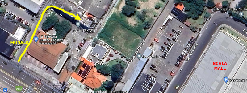
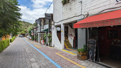
So on one afternoon we walked down the trail to Scala Mall (something we did more than once) and then walked up the street to the "Design Creative District" where Architekten (and other design and decorating firms) had their offices.
I've already mentioned that addresses in Ecuador aren't as organized as they are in the United States (although it's not quite as bad as "we live two houses past the Italian restaurant that is just south of Paseo San Francisco"). So finding the architect's office was not as easy as finding the right street and then walking along until we came to the right building number.
We wandered around the Creative District for a few minutes, and Greg was actually the first of us to figure out just where their office was. It was on the second floor of a large building set back from Av. Oswaldo Guayasamin.
|
|
We made a few mistakes in looking around for the office, but then realized that all we had to do was to walk down that street to the second building and then head upstairs.
|
|
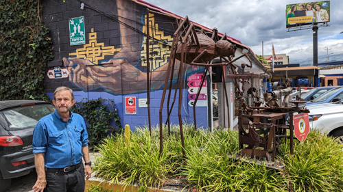
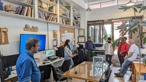
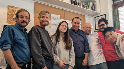
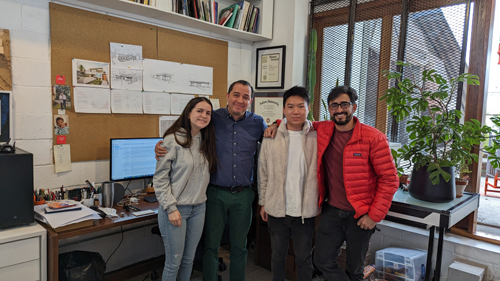
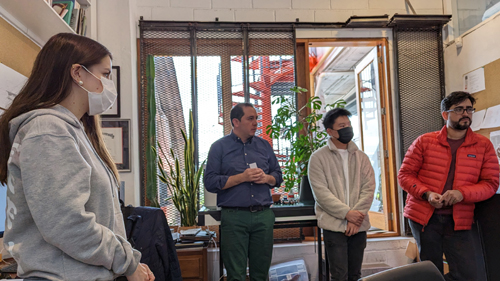
Felipe Palacios, the architect, heads an office of himself and three much younger people who were not only his students in some classes he taught at University San Francisco, but are now working with him in their relatively small office. We were actually there to discuss some of the renovations that we wanted to make, and we spent a couple of hours on that. During that time, I took a few candid shots here in their office.
|
|
|
|
We enjoyed meeting the Architekten team (although we'd had video chats with them previously). We gave them our ideas for what needed to be done at the house, and they shared their ideas for both doing those things and for other issues that needed to be resolved.
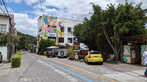
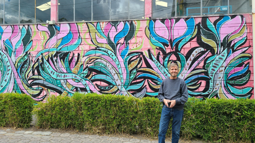
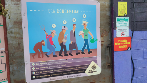
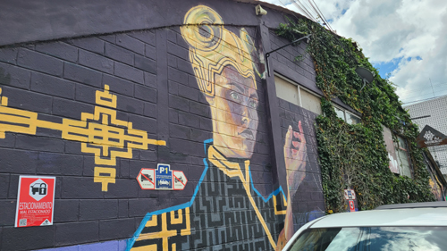
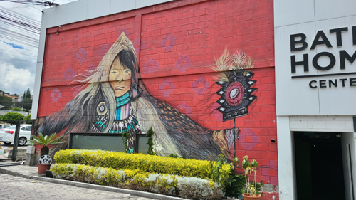
On the way into the district, we'd passed some interesting murals and signs, and on the way back out to the avenue, Fred took some pictures of them:
|
|
|
|
Back out at the avenue, we walked back to Scala Mall to catch a cab back to Santa Lucia Baja.
On the Chaquinan Ecological Trail
|
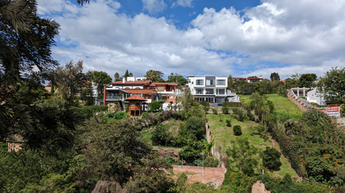
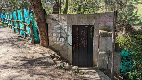
The trail begins at the trailhead just northwest of Parque Cumbaya, and then winds its way through valley, mostly following ravines and natural areas where development is impossible, and sometimes following an old railroad. Most times, on the trail, you feel quite isolated from the urban part of Cumbaya, although there are houses and condos on your right as you walk east and south, and you can see across the ravine to some of the nice and not-so-nice areas of the Tumbaco Valley.
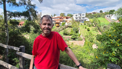
Anyway, the walk is always a pleasant one, as it was on the day we walked down the trail to go to Scala Mall to pick up a few things. I took just a few pictures along the way; the first two look across the ravine to some of the very nice homes in the area east of the reservoir:
|
|
|
|
A Walk Around Our "Block"
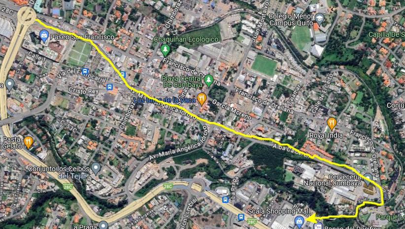
One afternoon when neither Greg nor Fred particularly wanted to get out, I decided to simply take a walk around the "block" where our house is located.
|
But that's what I did; I just headed south along Av. Oswaldo Guayasamin, and then curved around and up onto Via de Ferrocarril. Incidentally, you might think that with the prefix "ferro" which is Latin for "iron" that this would be "Street of the Iron (something)". Well, "carril" is Spanish for "lane", so we have "Street of the Iron Lane". You might be able to guess what an "iron lane" is; it's a "railway". So this is "Railway Street".
This got me to thinking whether there was a train track here at some point, and perhaps, if there was, that this track would connect up to the track that runs along the Chaquinan Ecological Trail. But there were no visible tracks in the street here, but I do know that there is a curved street pretty much right across from the trail entrance that does have visible tracks, and that street heads generally in this direction.
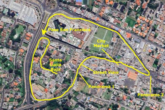
Anyway, it was interesting to think about, but I doubt that I would be able to locate information on whatever railway might have cut across Cumbaya in years past. You can see the path of my walk on the aerial view at left, and I have marked the places where I took the few pictures I came away with from today's walk.
This first panoramic view was taken at the point indicated. I had my back to Santa Lucia Baja, so the view looks southeast, with Via de Ferrocarril in the nearground and an unnamed street in the center that heads southeast:
|
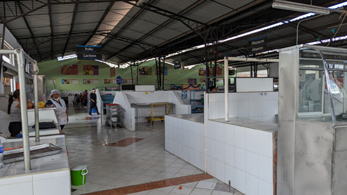
I continued walking down Via de Ferrocarril (to the left in the picture above) and as I rounded the curve I could down the street ahead of me. A bit further down the street, I passed the Cumbaya Market- a typical Spanish market like the ones we've seen in Europe and elsewhere. This late in the day, most of the stalls and restaurants were already closing up, but I did take a couple of pictures inside:
|
|
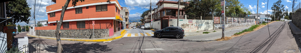
My final picture, another panoramic view, was made at the major intersection where I turned to head back northwest. Five streets come into this intersection- the one I came down, one that leads to Parque Cumbaya, one that heads over towards the reservoir, and one that runs from Paseo San Francisco all the way downhill almost to Scala Mall. Here is that panorama:
|
I completed my walkabout by heading uphill to Paseo San Francisco and then rounding it to get back to the main gate for Santa Lucia Baja.
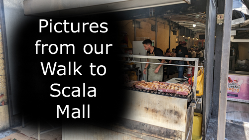
A Walk Down to Scala Mall
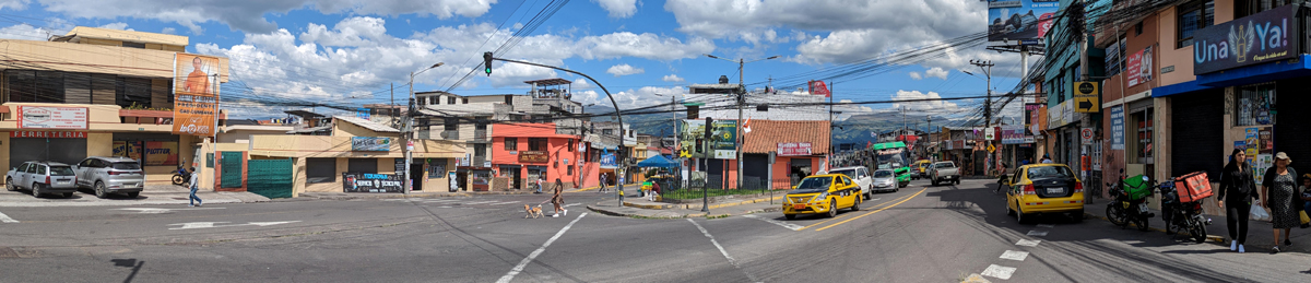
We have walked to Scala Mall numerous times; it has a number of stores where we got things for the house, and on one afternoon we wanted to walk down there so Greg and I could get hooked up with Claro, the local cell carrier, and get Ecuadorian numbers.
|
But today, just for something different, we decided to walk the more direct way. This route, shown on the aerial view at left, begins at Paseo San Francisco and first follows Av Maria Angelica Idrovo to the point where it turns south and heads directly downhill to meet up with Av. Oswaldo Guayasamin.
At that curve, we continue straight on southeast, and we are now on Av Alba Calderon. This street continues southeast to deadend onto Av. Francisco de Orellana, which has paralleled it most of the way before that street turns south. (Incidentally, at that point we pass the entrance to the Cerveceria Nacional Cumbaya, an installation of Ecuador's largest brewery company. You saw that brewery earlier in the views taken looking at Scala Mall from up on the hill by the Colineal furniture store).
We then follow Francisco de Orellana a short distance to the point where it crosses the Chaquinan Ecological Trail, and the last bit of our walk to the mall follows that trail to the point where an access bridge has been built to trail walkers can cross the ravine and get to the mall itself.
So that's the route that we followed today, and along the way we photographed numerous interesting street scenes.
|
|
|
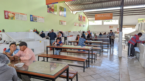
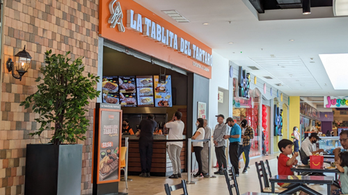
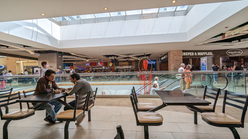
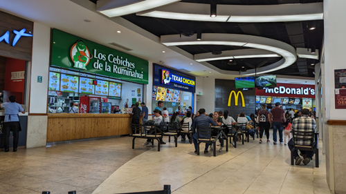
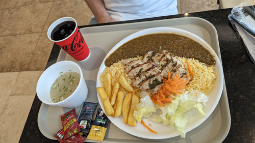
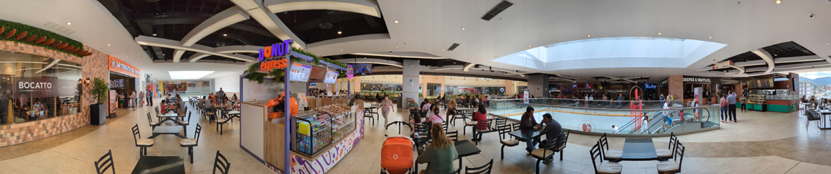
When we got to the mall, we went up to the food court (even larger than the one in Paseo San Francisco) to get some lunch before we did our errands and shopping. Here are some pictures of the food court at Scala Mall:
|
|
|
|
|
|
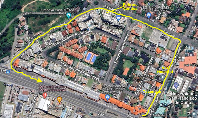
A Walk Around Plaza Cumbaya
As you've seen, there are basically four quadrants around the big traffic circle at Paseo San Francisco. Earlier on this page, I walked around the block on the southeast of the circle- the one where Santa Lucia Baja is located. The block on the southwest, where Villa Cumbaya (the mall where our grocery store is located) is really pretty uninteresting (and not really a walkable block at all). I did make walks around the other two quadrants, and this first walk was around the block containing Plaza Cumbaya.
|
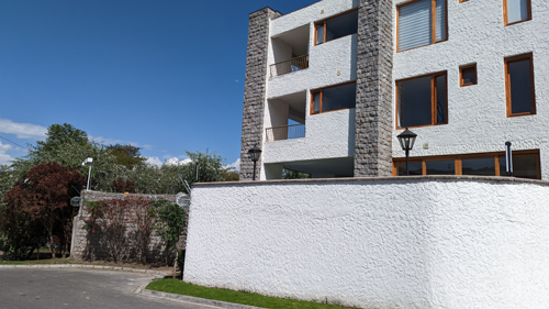
Actually, the aerial view is very revealing, because when I actually did the walk, I didn't realize that the entire interior of the area was a large gated community. The only entrance to it is on the north side of the quadrant, but when you walk by it, it is deceptive as to how large the community actually is. This would also be a nice community to live in, but with the only egress being on the north side of the block, you would always have to walk quite a distance to get to, say, Paseo San Francisco. So it is more secluded than Santa Lucia Baja, and a little harder to get to things.
|
|
At the very beginning of my work around the northwest block, I got up to a vantage point from where I could look down onto the major traffic circle at Paseo San Francisco, and stopped to make a movie. You can watch that movie with the player at left.
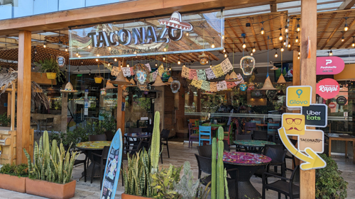
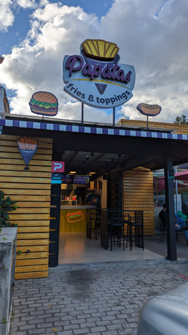
Then I started walking up the street. Almost immediately, I passed a group of four restaurants, including a Mexican restaurant called Taconazo and an excellent burger place. As you can see on the menu of today's combinations, Taconazo is quite reasonable. In general, food here in Ecuador is relatively inexpensive in the grocery stores, but when you eat out at a restaurant, the difference is less.
|
|
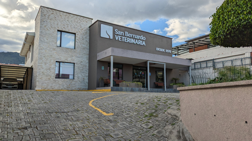
Continuing up the street, there were numerous restaurants and other businesses, including a veternarian and also the Veternary School of the University.
|
 |
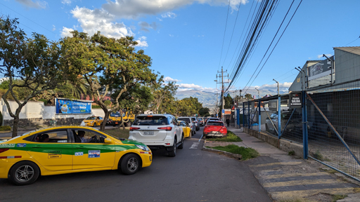
I continued up the street to the corner, and then turned left. About halfway up this street, which had a median, I stopped to take a picture and make a movie, just so you can see what traffic is like on a typical afternoon on a street that is not a major one. To watch the movie, click on the left-hand image below:
|
|
|
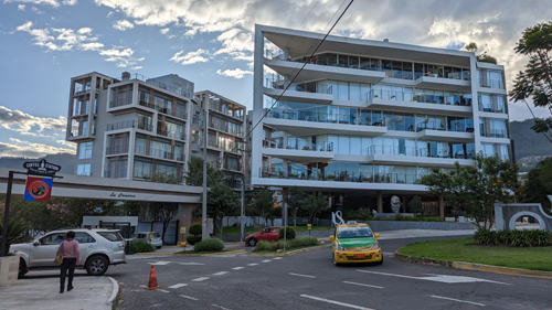
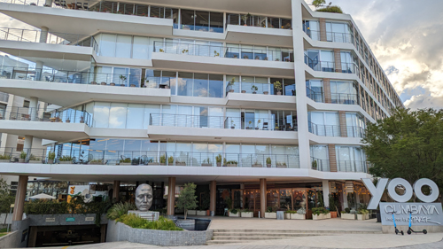
A little further up the street, basically right where it curves around to head more northwest, there is a really interesting condo complex. I think the buildings are quite beautiful. There is one long building that runs along the street, and as you curve around to the northwest, this building comes to a very sharp point- like the prow of a ship. Curving around this entire building is another part of the complex. All in all it seems quite nice, with upscale stores on the ground floor of the building that faces the street. Here are two more views of the complex:
|
|
When you round the corner, the street heads northwest to meet up again with the main road to Quito. This stretch is pretty plain, with wall of the gated community on your left and a deep ravine on the right.
|
|
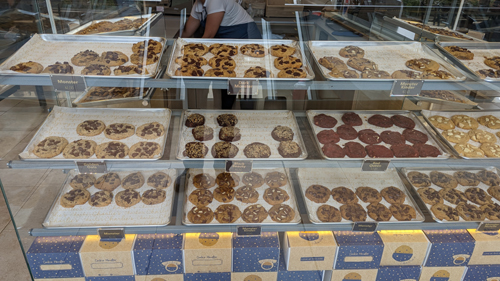
About the only building on the ravine side of the street is up near the main road, and it appears to be a bakery.
Up at the main road, we are next to Baguette, which is the northernmost business in the Plaza Cumbaya, back at the pedestrian overpass at the top of Av Oswaldo Guayasamin.
|
|
To go to the next continuation page for the pictures from our trip this time to Ecuador, please click the link below.
|
February 15 - February 28, 2023: Our Winter Trip to Florida- Part 2 |
|
January 4 - January 17, 2023: Our Winter Trip to Florida- Part 1 |
|
Return to the Index for 2023 |