|
December 20-27, 1982: Christmas in North Carolina |
|
Return to the Index for 1982 |
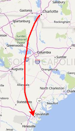
By Christmas, Dennis had found a place to live in Savannah, and was all moved in. We planned that I would come down to see him after spending Christmas at home, and so I got down to his place on December 28th.
|
|
Savannah is the oldest city in Georgia; it was established in 1733 on the Savannah River, and became the British colonial capital of the Province of Georgia and later the first state capital of Georgia. A strategic port city in the American Revolution and during the American Civil War, Savannah is today an industrial center and an important Atlantic seaport. It is Georgia's fifth-largest city and third-largest metropolitan area.
Each year Savannah attracts millions of visitors to its cobblestone streets, parks, and notable historic buildings: the birthplace of Juliette Gordon Low (founder of the Girl Scouts of the USA), the Georgia Historical Society (the oldest continually operating historical society in the South), the Telfair Academy of Arts and Sciences (one of the South's first public museums), the First African Baptist Church (one of the oldest African-American Baptist congregations in the United States), Temple Mickve Israel (the third oldest synagogue in America), and the Central of Georgia Railway roundhouse complex (the oldest standing antebellum rail facility in America). We got a chance to see a good deal of this history in just the few days I was here.
|
|
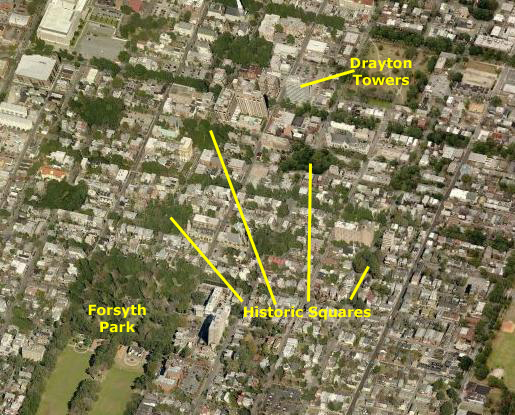
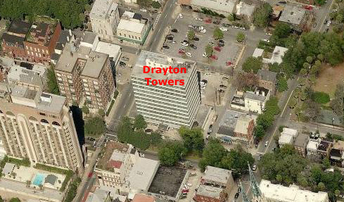
But as you can see, we were indeed in the middle of history, and I enjoyed immensely just walking around with Dennis to some of the historic little squares, down to Forsyth Park, and up to the Savannah River to the old dock area (which is in the process of being entirely renovated, gentrified, and taken upscale. Dennis has a nice apartment, and has already begun to make some friends, a couple of which I met on one of the nights that we went out.
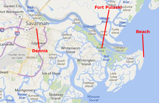
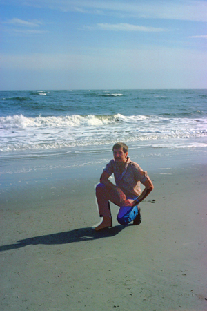
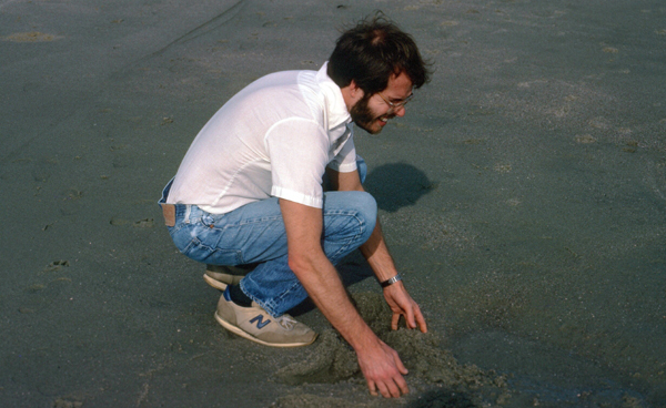
The Beach on Tybee Island
|
|
Native Americans, using dugout canoes to navigate the waterways, hunted and camped in Georgia's coastal islands for thousands of years. The Euchee tribe likely inhabited Tybee Island in the years preceding the arrival of the first Spanish explorers in the area in the 16th century; "tybee" is the Euchee word for "salt". In 1520, the Spanish laid claim to what is now Tybee Island and named it Los Bajos- part of Spanish Florida. Pirates used the island as a hiding place and the inland waterways as a water source. After South Carolina was founded in 1670, the English and their pirate allies fought the Spanish and their Native American allies. Two invasions of Spanish Florida (1702 and 1704) forced the Spanish to retreat to St. Augustine and Pensacola (what is now the Florida Panhandle, allowing the establishment of new English settlements like Georgia.
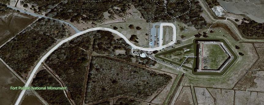
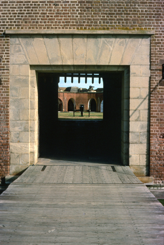
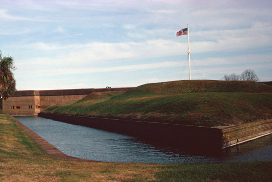
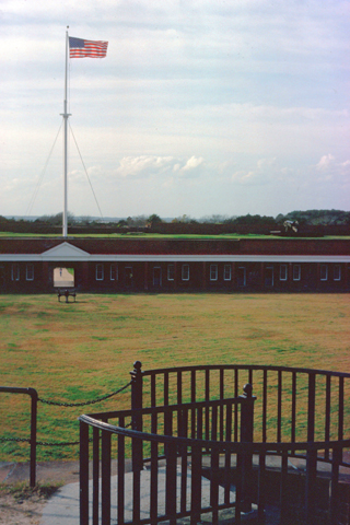
Fort Pulaski
|
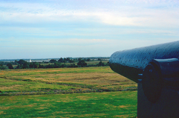
Fort Pulaski belonged to what is known as the Third System of coastal fortifications, which were characterized by greater structural durability than the earlier works. Most of the nearly thirty Third System forts built after 1816 still exist along either the Atlantic or Gulf coasts. Wooden pilings were sunk up to 70 feet into the mud to support an estimated 25,000,000 bricks; the fort took sixteen years to build. Walls were eleven feet thick, thought to be impenetrable by all but the largest land artillery (which had at the time a range of half a mile). Since the nearest land- Tybee Island- was much further away than that, LT Lee remarked that "one might as well bombard the Rocky Mountains as Fort Pulaski".
|
|
Fort Pulaski was under the control of only two caretakers until 1860 when South Carolina seceded from the United States and set in motion the Civil War. It was at this time that Georgia governor Joseph E. Brown ordered Fort Pulaski to be taken by the state of Georgia. A steamship carrying 110 men from Savannah traveled downriver and the fort was seized.
Following the secession of Georgia in February 1861, Confederate troops then moved into the fort. By December, Tybee Island was thought to be too isolated and unprepared for conflict and was abandoned by Confederate forces. This allowed Union troops to gain a foothold across the Savannah River from Fort Pulaski, and construction of artillery batteries began (under the command of Captain Quincy Gillmore).
On the morning of April 10, 1862 Union forces asked for the surrender of the Fort to prevent needless loss of life. Colonel Charles H. Olmstead, commander of the Confederate garrison, rejected the offer.
|
The Union artillery under Captain Gillmore succeeded almost entirely because of thererifled cannon, which caused massive damage in the walls of the fort. Gillmore's triumph won him promotion from engineer captain to brigadier general.
Within six weeks of the surrender, Union forces repaired the Fort and all shipping in and out of Savannah ceased. The loss of Savannah as a viable Confederate port crippled the Southern war effort. With the Fort securely in Union control, its commander, General David Hunter, issued a general order freeing all slaves in Florida, Georgia, and South Carolina. President Lincoln actually rescinded that order, but issued his own Emancipation Proclamation in 1863.
The initial garrison of 600 Union soldiers was reduced to 250 when it became apparent the South would not be able to retake the fort. Late in the war, the fort was turned into a prison for a group of captured Confederate officers known as "The Immortal Six Hundred." After the war ended, Fort Pulaski continued as a military and political prison for a short while housing, at one time or another, the Confederate Secretaries of State, Treasury, and War; three state governors; and a senator.
|
By the turn of the 20th century, the fort began to fall into disrepair. In an effort to save the old fort, the War Department finally declared Fort Pulaski a National Monument on October 15, 1924 by presidential proclamation of Calvin Coolidge. The monument was transferred from the War Department to the National Park Service on August 10, 1933. At that time repairs were started, when members of the Civilian Conservation Corps arrived on Cockspur Island and began rehabilitation of the fort.
Fort Pulaski was opened to the public only for a short time before the beginning of World War II. This war would see further use of Cockspur Island as a section base for the U.S. Navy. Following World War II, Fort Pulaski reverted to the Park Service's control, and it was administratively listed on the National Register of Historic Places on October 15, 1966. Fort Pulaski has remained open to the public since that time. We learned while we were visiting that there would shortly be a museum opening here at the fort; perhaps we can come back to visit it when it opens.
The rest of my time visiting Dennis was touring Savannah. Again, I should have taken many more pictures; I could easily have taken roll after roll of the historic houses, squares, monuments and memorials. But I guess I was thinking this would not be the last time I would be here- which turned out to be quite correct. I stayed with Dennis for two days before flying home to Chicago to attend Steve Goldber's New Years Eve party.
You can use the links below to continue to another photo album page.
|
December 20-27, 1982: Christmas in North Carolina |
|
Return to the Index for 1982 |