|
September 29, 2016: The Narrows and Mt. Baldy Hikes |
|
Return to the Index for Our Wichita Mountains Trip |
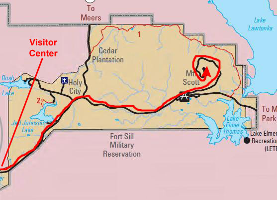
For our second day of hiking in the Wichita Mountains National Wildlife Refuge, we started by picking up a couple of Subway sandwiches for lunch on our way into the Refuge. We plan to eat these on top of Elk Mountain. After that long hike, we'll stop in to the Visitor Center and then head over to Mt. Scott. I am hoping we can do the "boulder avalanche," but I'm not sure. In any event, we plan to head on back to Dallas late this afternoon.
The Hike to the Top of Elk Mountain
|
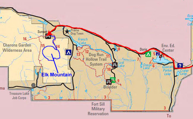
To get there, we followed Highway 49 into the Refuge and just past the Visitor Center. There, we turned north to continue following that highway, and drove about three miles to the turnoff to the south for the Sunset Campground.
We parked and got our stuff together for the hike. Fred and I have done this hike two or three times before, and we have also done the hike to Charon's Garden a couple of times; that trailhead is here at the Sunset Campground as well.
Starting Out on the Elk Mountain Hike
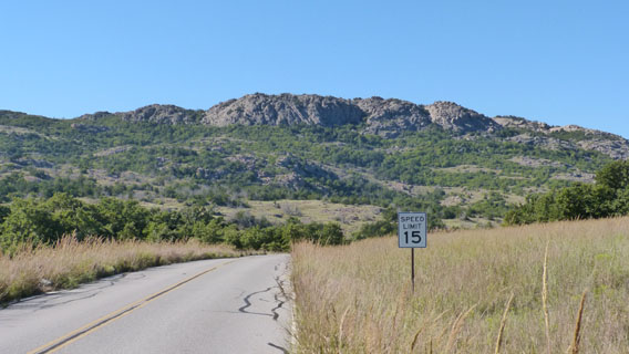 The Road from Highway 49 Towards Elk Mountain |
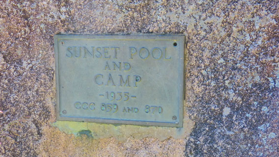 Plaque at the Sunset Campground |
We parked and took a few minutes to get organized for our hike; we would be gone four or five hours, so we needed to make sure we had everything with us. I took a few pictures right from the picnic area as we were getting ready.
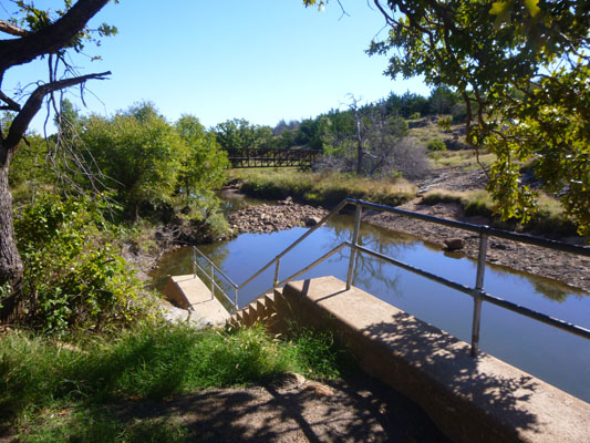 Sunset Pool and Bridge |
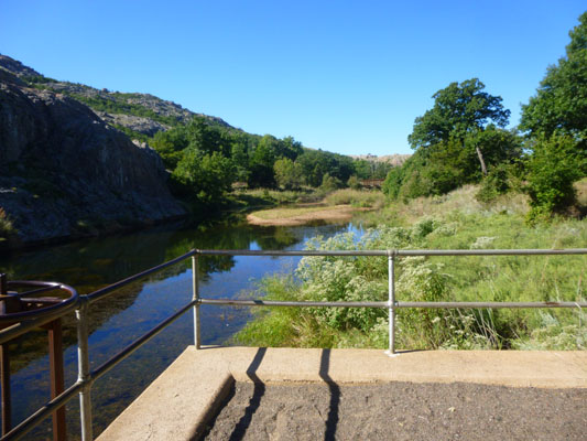 Looking Towards the Charon's Garden Trail |
From the parking area, Fred got a good picture of
the bridge across Sunset Pool
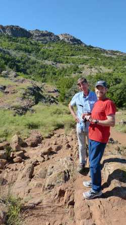
that would take us to the Elk Mountain Trail, and then we walked over to the bridge to cross it and begin our hike. Just before crossing the bridge, I took this picture of
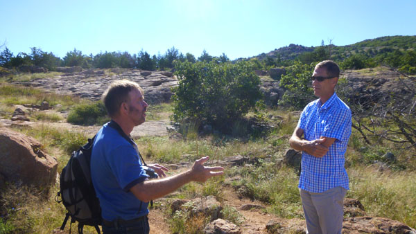
Guy and Fred
before we crossed the footbridge. I also took two movies- one before we crossed the footbridge and one as I was doing so:
|
(Mouseover Image Above for Video Controls) Looking Ahead at Elk Mountain |
(Mouseover Image Above for Video Controls) We Start Out on the Elk Mountain Hike |
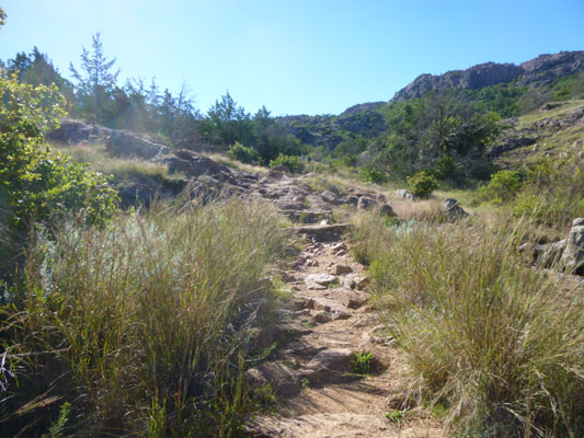
The Trail to the Top of Elk Mountain
|
|
(Mouseover Image Above for Video Controls) |
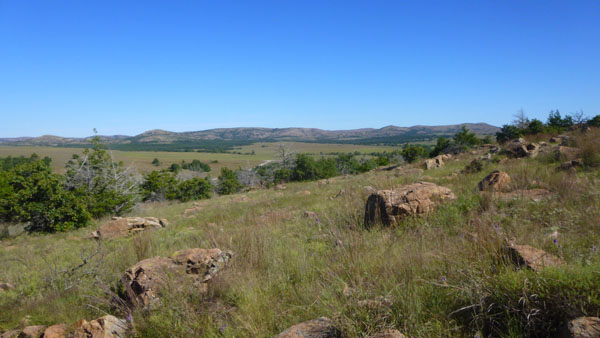
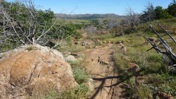
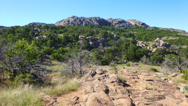
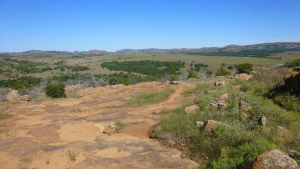
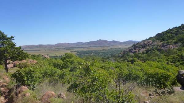
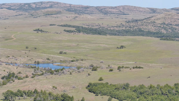
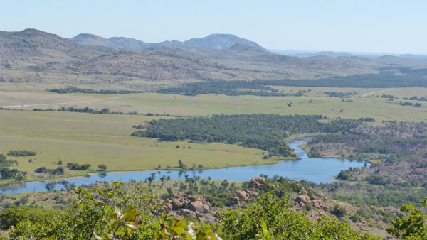
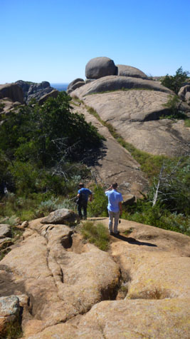
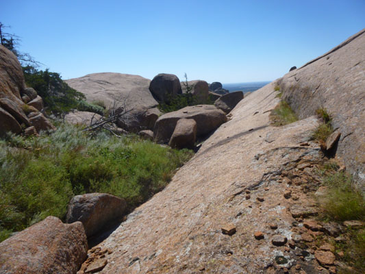
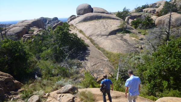
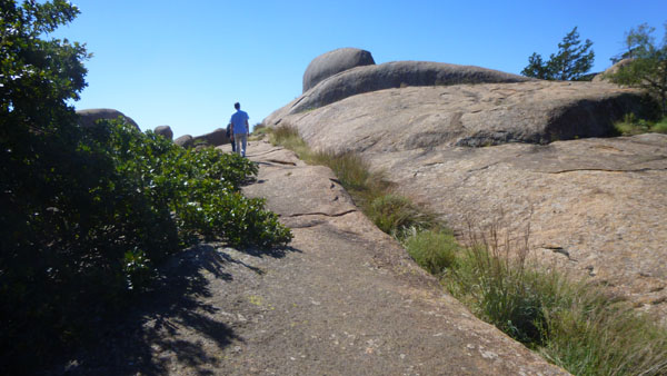
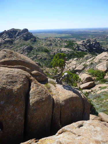
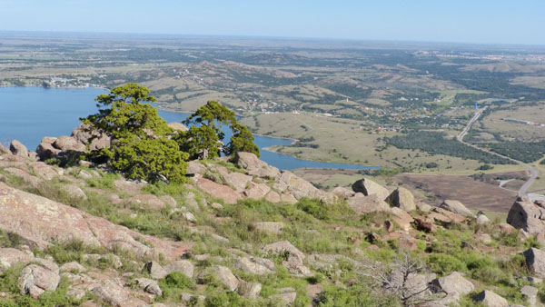
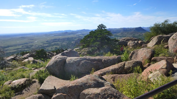
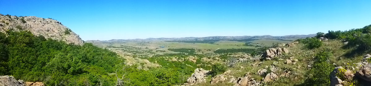
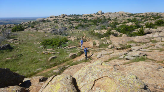
On the way up the trail, I stopped occasionally to let my camera take a panoramic picture or to take a series of pictures that I later put together into one. In each of these panoramas, you can easily see that we are getting higher and higher along the north side of Elk Mountain. Here are the first three panoramas:
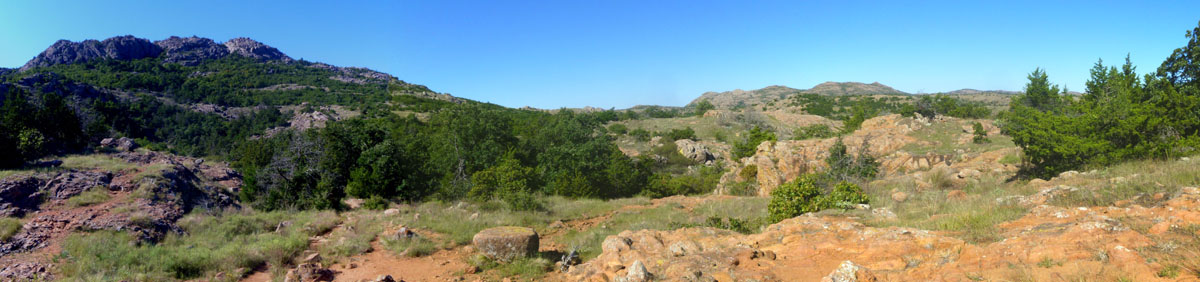 Looking Up at Elk Mountain |
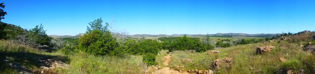 The View to the Northwest |
 The View to the North (from the halfway point) |
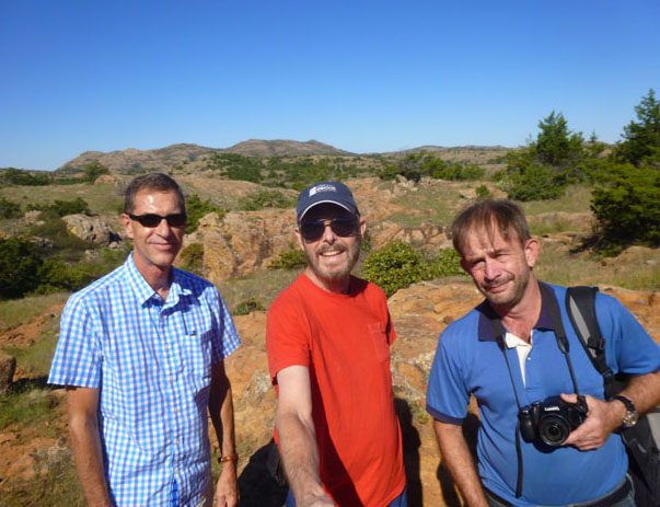
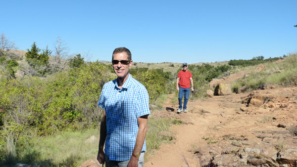
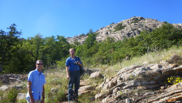
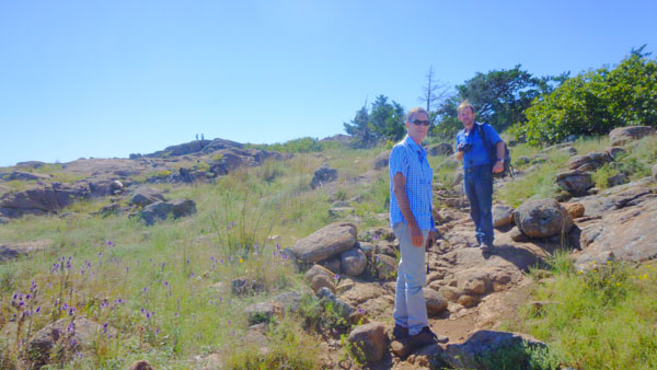
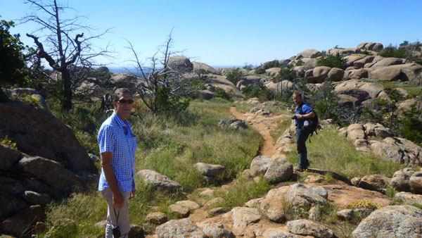
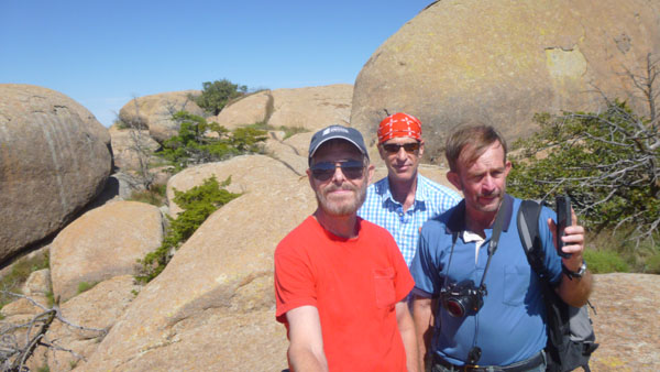
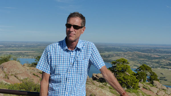
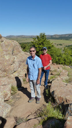
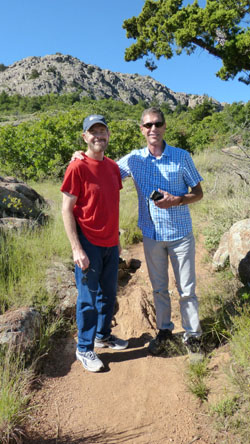
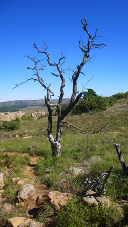
Also along the trail up, Fred had Guy and I stop a few times for a portrait (and I also found a gnarled old tree beside the trail worthy of a photo). Here are those pictures:
 |
 |
 |
 |
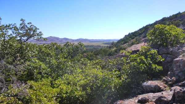
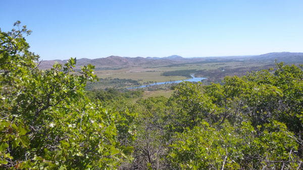
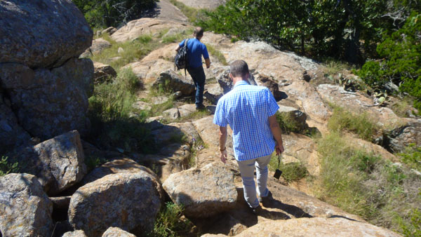
Other than the panoramics and the portraits above, Fred and I each took a number of pictures on the way up the trail; as we got higher and higher the pictures got more and more expansive. I have weeded out a great many of them as not being of particular interest or defective in some way or duplicates between the two of us. And then I put our pictures into time sequence for a slideshow of our ascent.
|
|
|
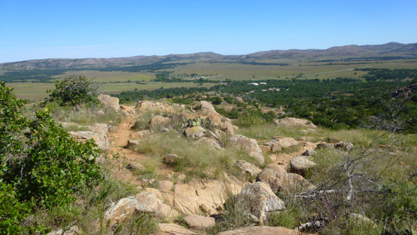
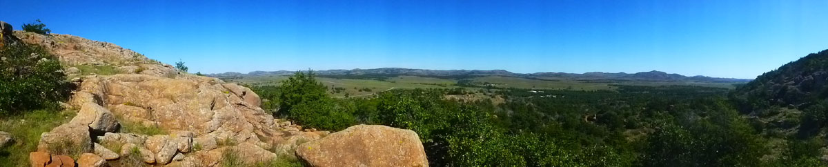
Towards the end of the trail to the top, I made my final two panoramas:
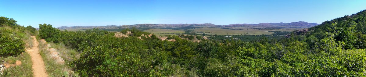 Looking Back Down the Trail |
 The View to the Northwest |
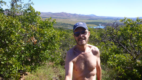
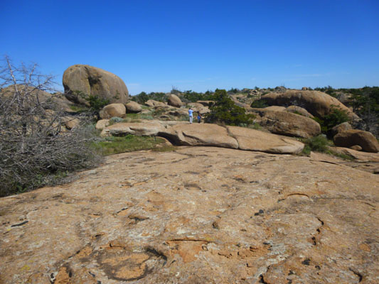
After about 45 minutes of steady climbing (towards the end of which I had to take my shirt off to keep from overheating), we came out onto the top of Elk Mountain, right by the pile of rocks which is actually the highest point on the plateau.
At the Summit of Elk Mountain
|
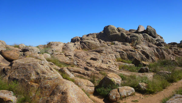 |
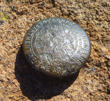
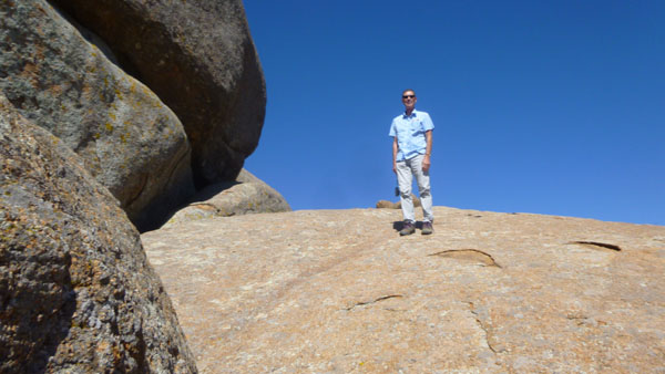
So the three of us went up onto the pile of rocks that you can see above and then were really on the summit of Elk Mountain. We knew we'd reached the summit because there was a bronze survey marker driven into the rock exactly at the highest point.
|
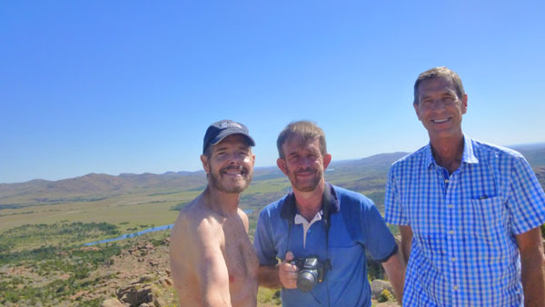 |
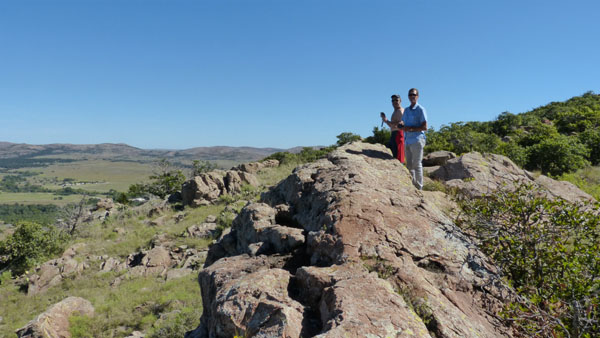
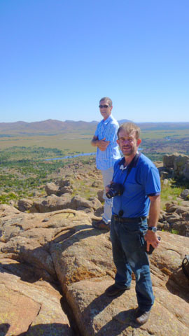
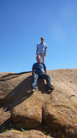
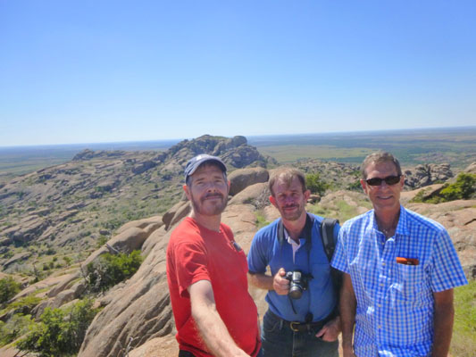
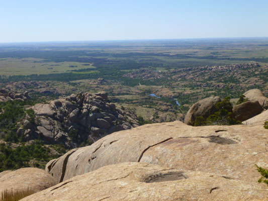
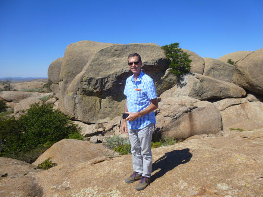
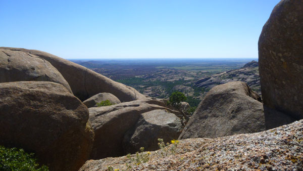
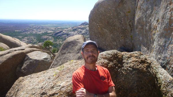
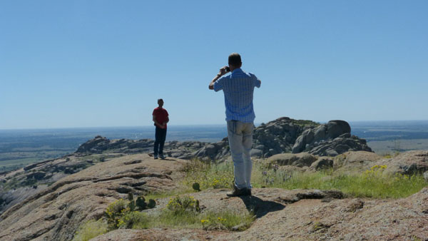
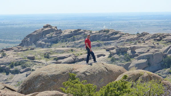
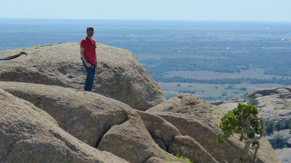
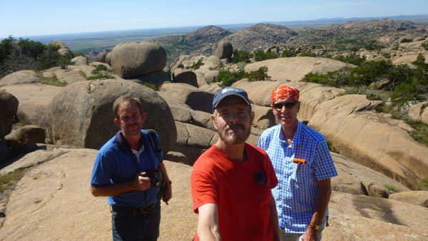
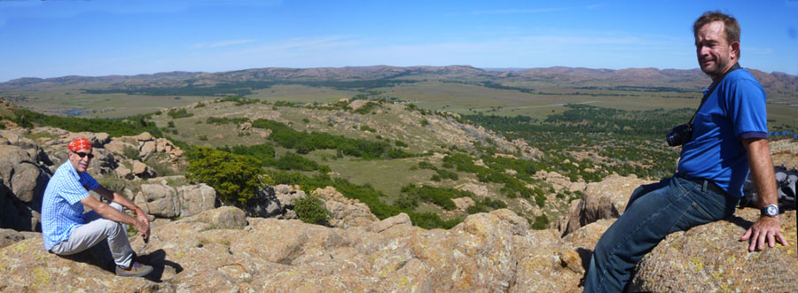
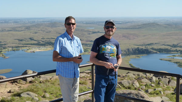
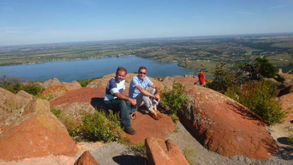
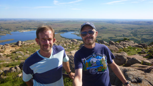
The views from here were, as you would expect from being at the highest point for quite a ways around, spectacular. For one thing, the expansive views were a wonderful backdrop for our pictures of each other here at the summit:
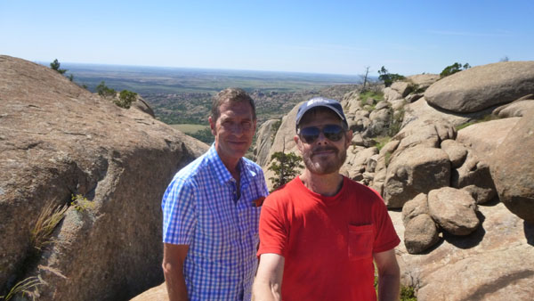
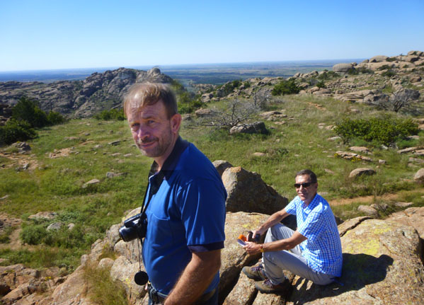
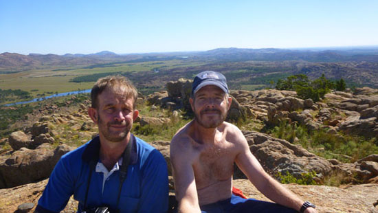 Fred and I at the Summit of Elk Mountain |
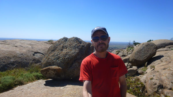
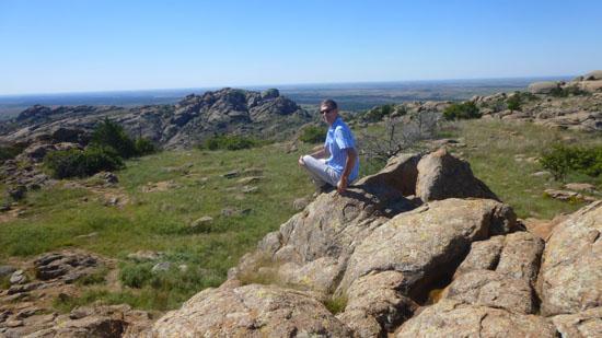 Guy Atop Elk Mountain |
The summit of Elk Mountain was an irresistible position from which to try to put together one of my 360° panoramas. I have found that while my camera can sometimes do them, they require me being on a flat surface where I can turn at a steady speed without watching where I am stepping- not something I would want to try here. So, instead of that, I took a series of 9 individual pictures and stitched them together in post-production. The resulting panorama can't be really appreciated at the scale it would take to put it all on this page without a scrollable window, so here it is in a scrollable window for you to enjoy:
|
 |
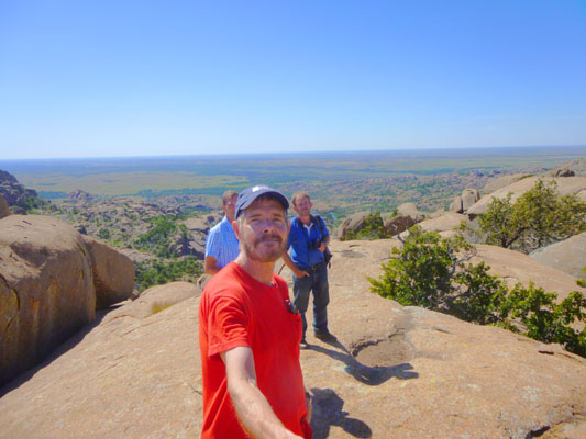
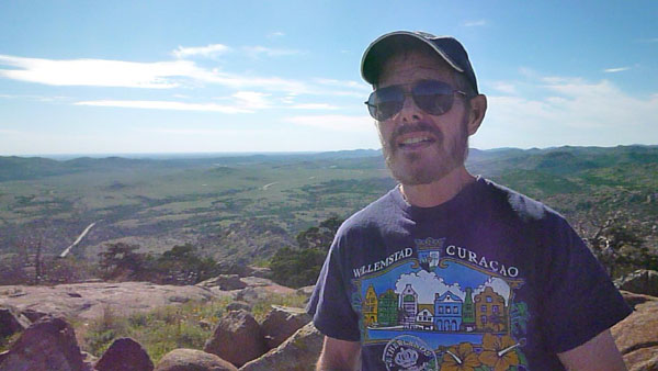
I actually made three or four movies from this spot, but only two of them are worth including here. One is a simple pan around the top of the mountain and the other is a bit of a "selfie editorial" about the beauty of places like this.
|
(Mouseover Image Above for Video Controls) The Panoramic View from Elk Mountain |
(Mouseover Image Above for Video Controls) A "Selfie Editorial" |
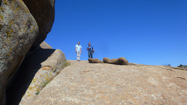
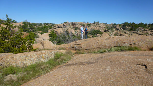
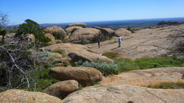
After I made these movies, we headed off to explore the top of Elk Mountain. Fred and Guy got down off the summit before I did, as I was finishing up the last movie above. So by the time I took my last two pictures from here, they were already back down to the level of the trail.
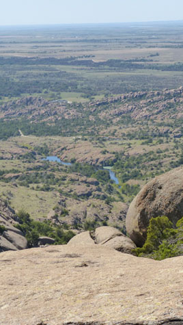
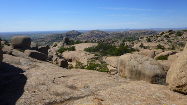
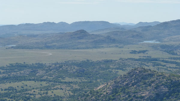
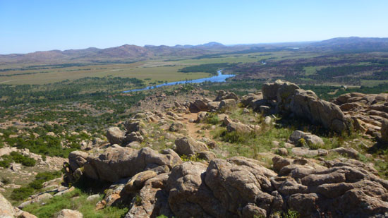 This view, taken from the summit, looks to the northeast, and in the center of the image, far back on the horizon, you can see the peak that is Mt. Scott. |
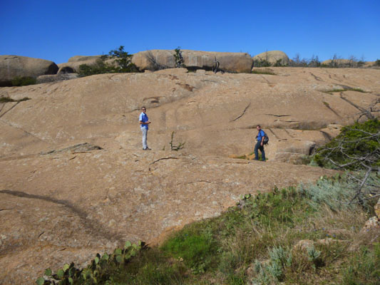
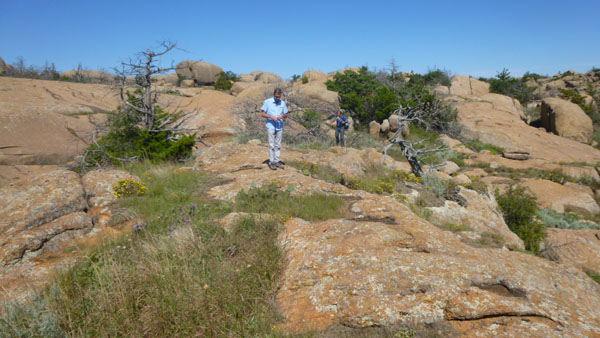
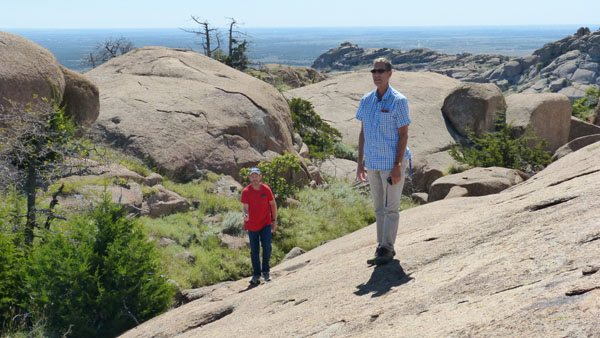
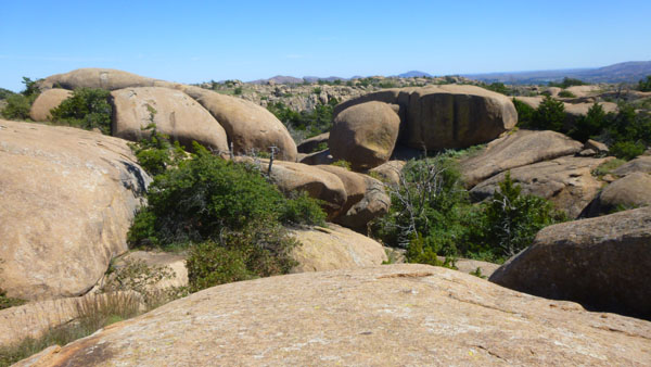
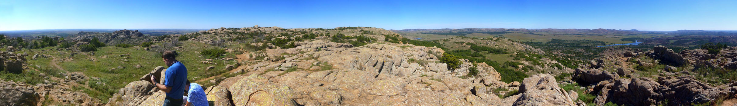
 As I turned to descend from the summit, I was able to get a nice picture of Fred and Guy down at trail level, and the view looks across the relatively flat top of Elk Mountain. |
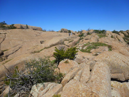
Exploring the Top of Elk Mountain
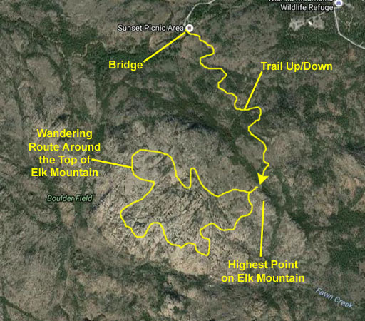
Of course I have a penchant for using aerial views to track places we go, but in the case of Elk Mountain, the aerial views are not of the resolution necessary so that you would get a lot out of following our route. So for most of the pictures we took here on Elk Mountain I'll just put them in slideshows (although the pictures will be generally in time sequence as you move through the show using the little buttons in the lower corners of each image).
|
|
|
|
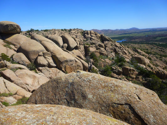
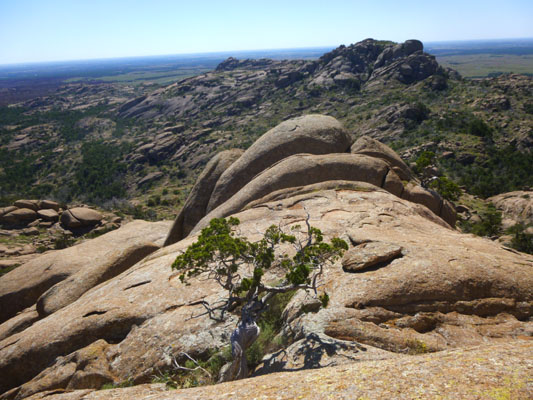
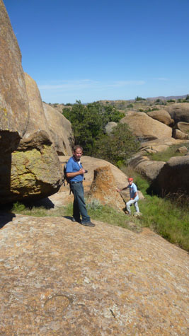
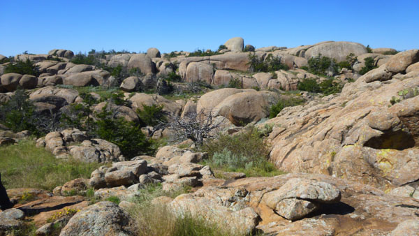
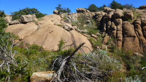
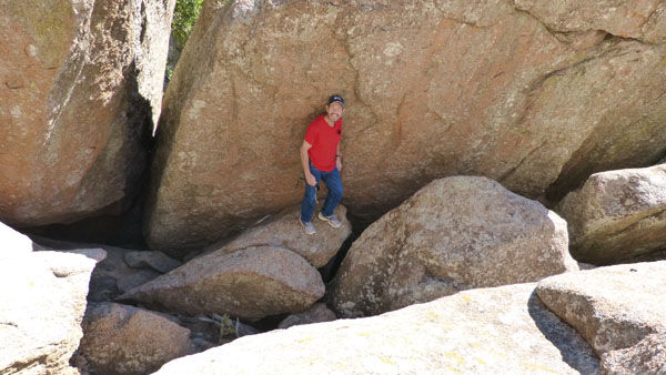
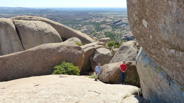
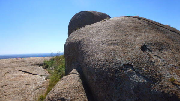
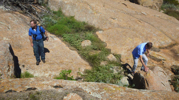
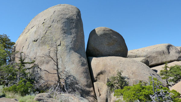
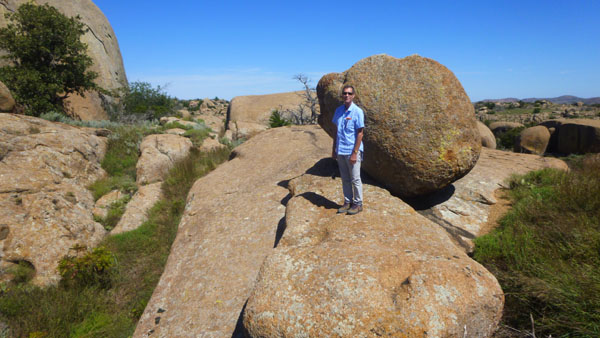
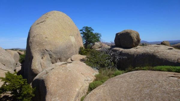
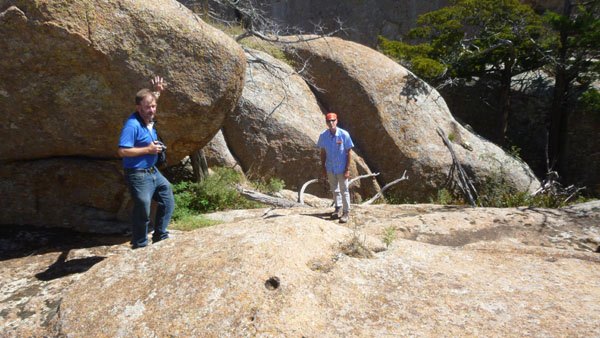
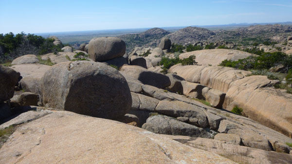
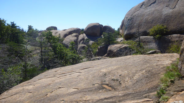
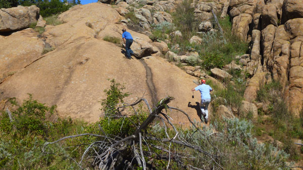
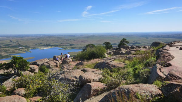
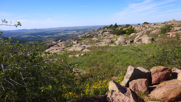
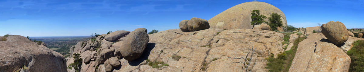
Here on Elk Mountain, there are all kinds of neat formations that you can climb around on, although not all of them are totally accessible to casual hikers such as ourselves- ropes or other equipment might be necessary to get to the top of them. But there was no shortage of very interesting cracks and crevices to go through and big rock outcrops to climb on, and expansive views all around.
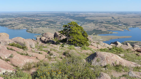
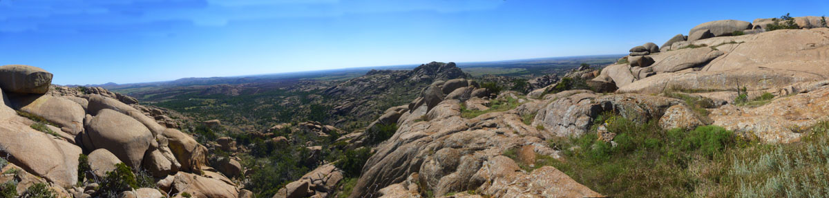
There were a couple of places where I thought the views were so neat that I stopped to create a panoramic image for this album. Here is one of those:
 |
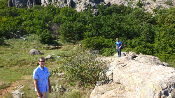
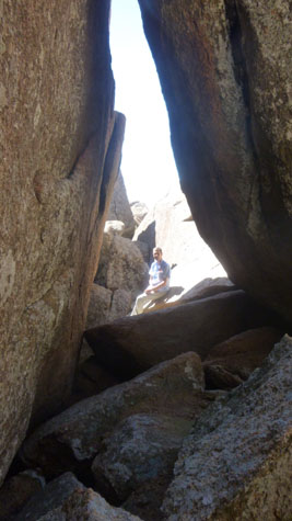
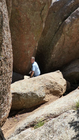
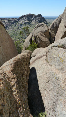
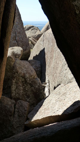
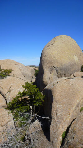
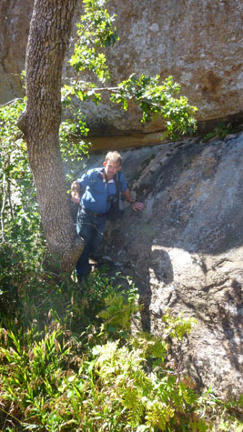
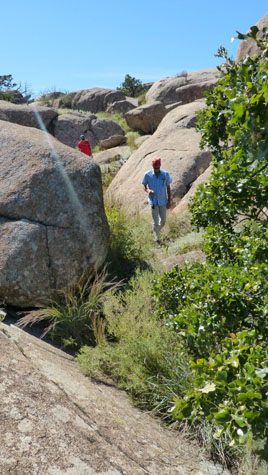
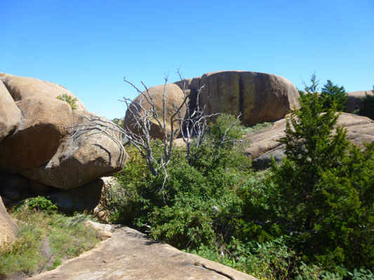
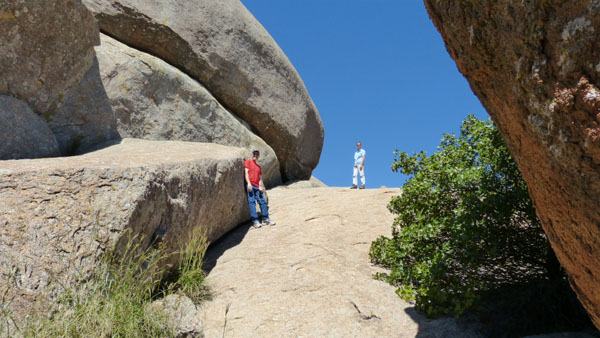
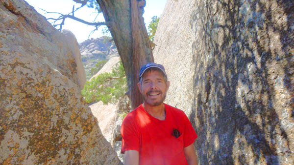
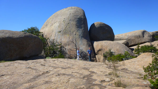
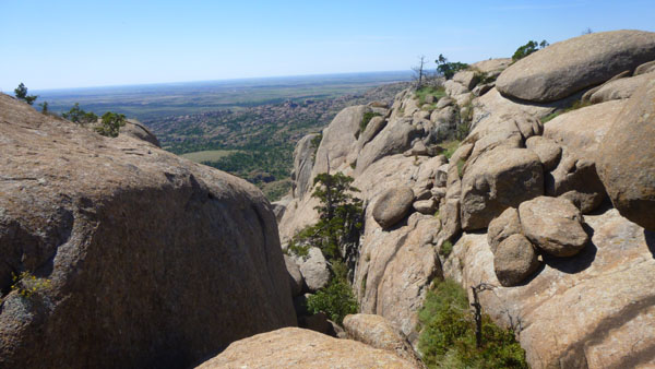
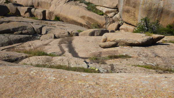
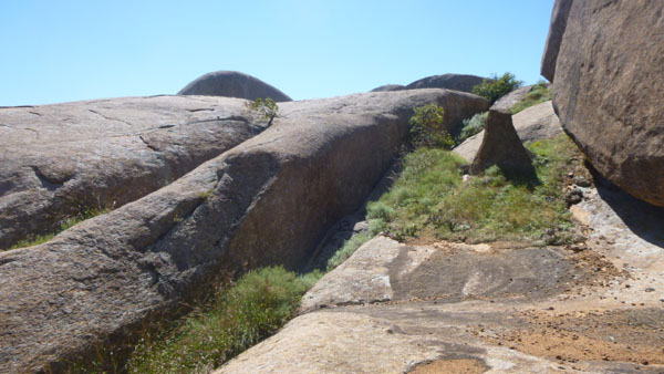
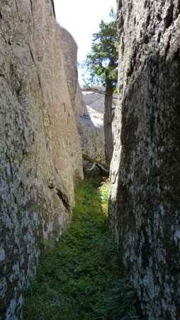
There was one particular formation that we found that was close to unique- it was a narrow crevice between two huge rock formations that reminded Fred and I very much of the slot canyons near Palm Springs.
 Looking Towards the Entrance |
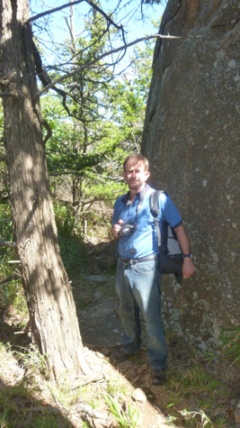
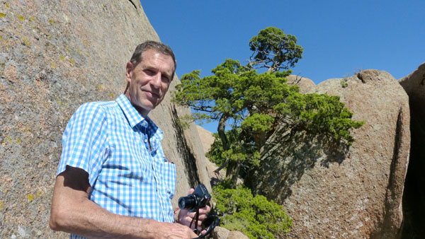
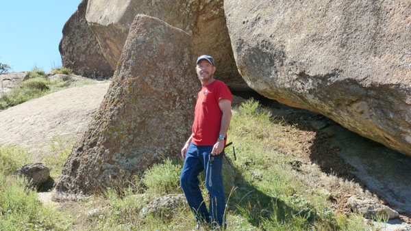
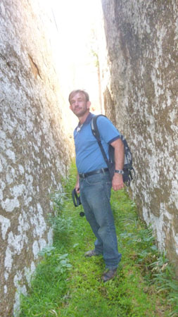
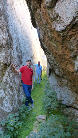 Myself and Guy |
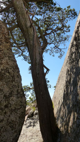
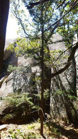
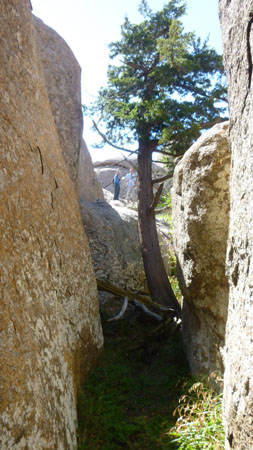 A Tree Grows in the Crevice |
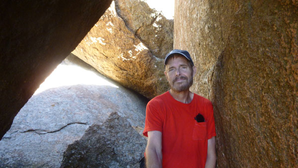
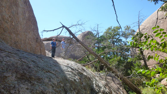
 Fred at the Far End |
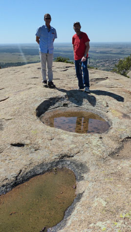
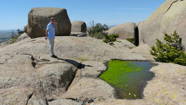
The crevasse was actually just below the large rock where we found a little tank filled with water and growing grass (there will be a movie of this formation a bit later). I was the first one to climb down into the crevice near the tree- below the rock where Fred and Guy were still standing.
 |
I made a movie in the crevice that you might find interesting:
|
|
|
(Mouseover Image Above for Video Controls) |
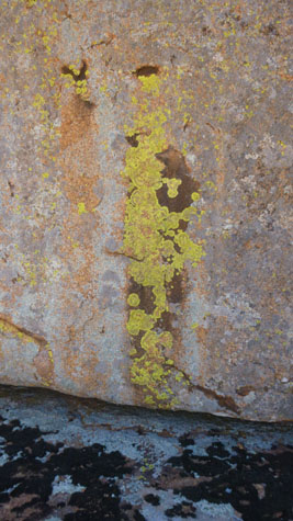
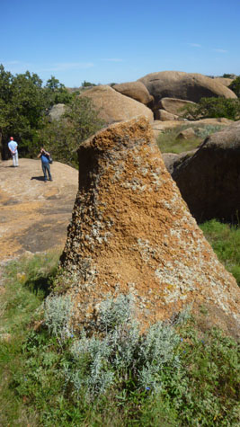
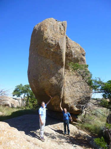
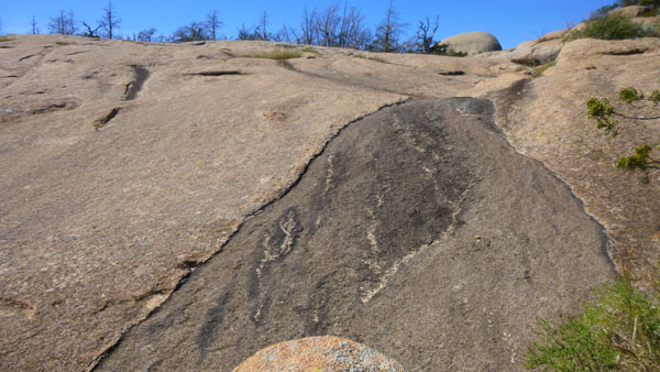
On the other side of the rock was a formation that Fred and I have seen before, most recently on our trip here some years ago with Mario and Steve. At first I thought it was a petrified tree trunk, but that's really just the way it looks. It is pretty interesting, and you can see a couple of good pictures of it at left.
I mentioned above that the tank with the grass would appear in a movie, and now's the time for that. Now is also the time for one of two larger slideshows of pictures that we took here on the top of Elk Mountain. The first slideshow is below, left; it has the pictures that we took before we stopped for lunch. As usual, move through the slides with the forward and backward buttons in the lower corners of each picture, and track your progress with the numbers in the upper left.
|
|
|
(Mouseover Image Above for Video Controls) At the Tank After Leaving the Crevice |
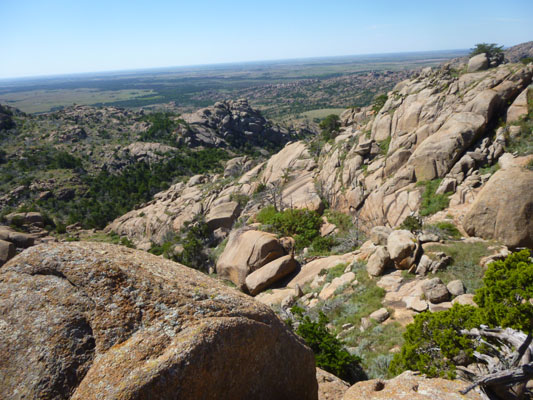
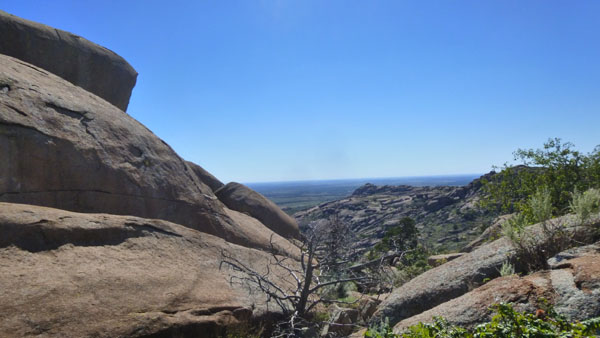
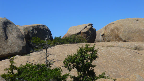
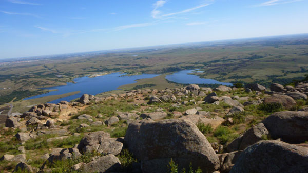
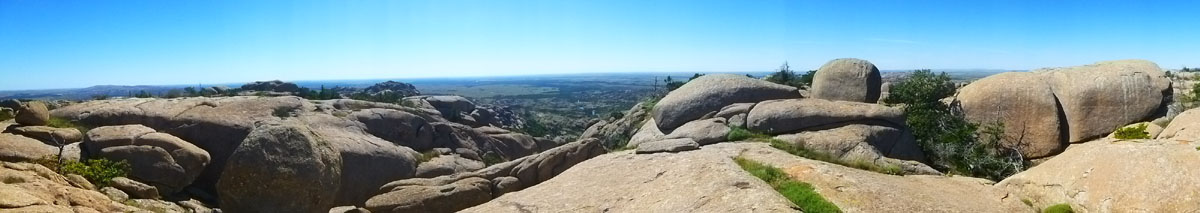
From the crevice, we continued our exploration of the top of Elk Mountain, and it was only a few minutes later that we got up high on another rock outcrop that offered me another opportunity for a panoramic view:
 |
It was about this time that we thought it was time to stop and have our sandwiches, and we started looking around for a suitable place, perhaps with some shade, where we could sit down and spread things out.
|
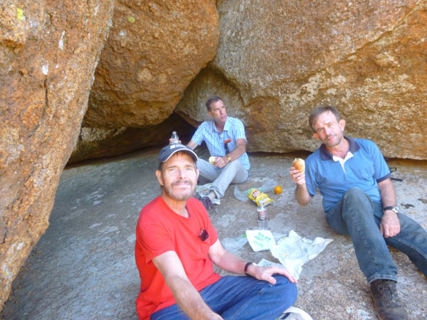 |
Here are two more movies that I made while we were walking around exploring the top of Elk Mountain:
|
(Mouseover Image Above for Video Controls) The Boulders Atop Elk Mountain |
(Mouseover Image Above for Video Controls) Climbing a Boulder on Elk Mountain |
We've almost returned to our starting point now, so it's time for the slideshow of the pictures we took after our lunch stop.
|
It took a bit of searching, the top of Elk Mountain being all of a jumble, before we saw the route back to the top of the trail up. Just before we got there, I climbed atop a nearby boulder for a final panoramic view from the top of Elk Mountain:
 |
We found our way back to the trail down, but before we left the top of the mountain, we relaxed for a short while back at the summit. There, I happened to take two pictures- one of Fred and one of Guy- and noticed just now that I could put them together:
|
We were fortunate today; the weather has been perfect- beautifully clear and not too hot (if you don't count the exertion coming up the trail).
I couldn't resist concluding our visit to the top of the mountain with a movie to put sort of a benediction to the hike.
|
We discussed some of the other hikes as we made our descent, but Guy seemed to be enjoying himself so much that we planned on a return visit sometime soon- perhaps in the Spring- to do some of them.
We got back to the car and we were all in the mood for a soda. Once we'd gotten refreshed, we headed off to the Visitor Center to have a look around. I've taken pictures there before, and so wasn't inclined to take more of them today. I found something in the gift shop for my sister before we headed off.
I had hoped we might do the boulder avalanche on Mt. Scott, but it seemed as if that should be one of the things left for a return visit, so we decided to just drive to the top.
The Drive to the Top of Mt. Scott
|
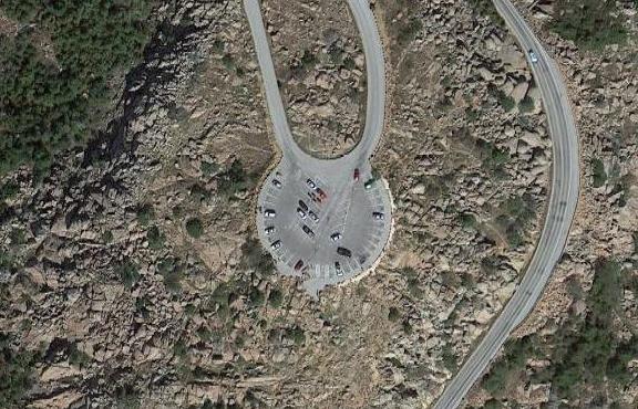 |
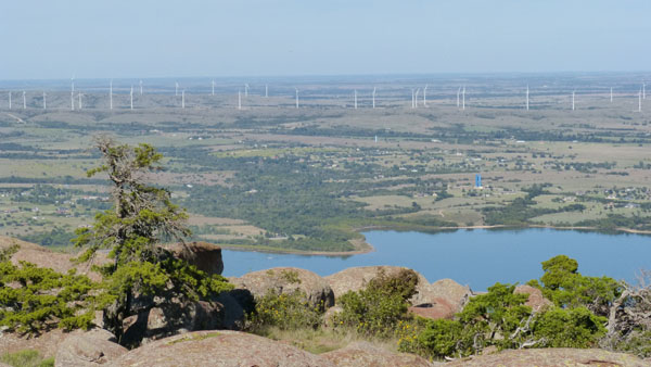
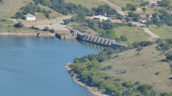
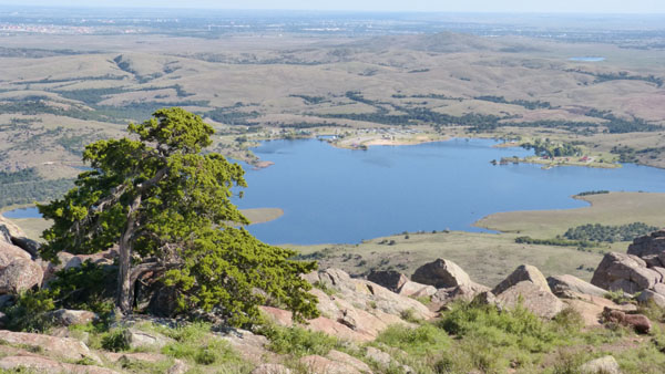
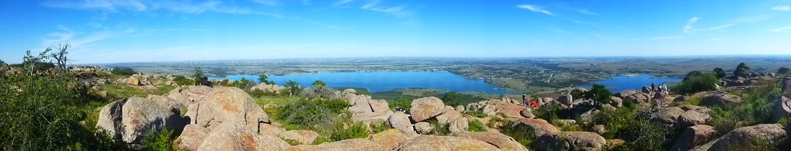
When we got to the top of Mt. Scott, we got out of the car and walked around the summit observation area, admiring the views and taking pictures and movies. Since Mt. Scott sticks up above the prairie pretty much by itself, there are expansive views in almost all directions. The only thing I can really do in this album is just show you the best of the pictures, panoramics, and movies that we took; it doesn't even seem to make much sense to try to tell you the direction in which each shot looks (other than to point out that three lakes, a bunch of wind turbines, and the town of Medicine Park all lie east of Mt. Scott).
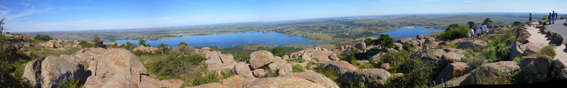
Let's begin with three panoramic views- all three of which look to the east:
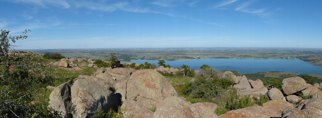 |
Here are two good movies that I made at the top, both of which pan around to show you the vistas below Mt. Scott:
|
(Mouseover Image Above for Video Controls) Panning East and South from Mt. Scott |
(Mouseover Image Above for Video Controls) Me Narrating Our Visit to Mt. Scott |
As for the pictures we took, a slideshow is the best way to show them to you. In the show below, left, just use the normal backward/forward buttons to move through the pictures, and track your position with the numbers in the upper left corner of each picture. Remember, if you see water, you are looking east.
|
|
|
(Mouseover Image Above for Video Controls) The View West |
Our last picture from the top of Mt. Scott is a panoramic picture of the view to the west:
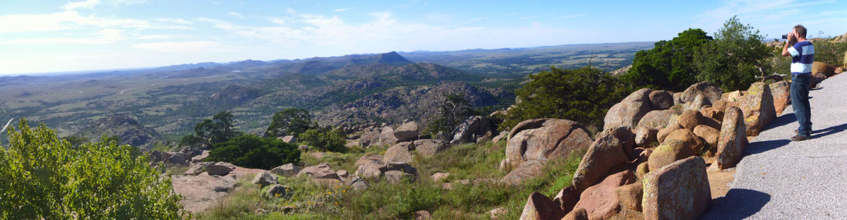 |
We left Mt. Scott about four in the afternoon and began the drive back to Dallas- retracing the same route we'd taken coming up. The only difference was that instead of going back through Van Alstyne and Plano, when we got to I-35 we just took that south directly back into Dallas. These two days were just great, and the three of us look forward to returning to the Wichita Mountains again.
You can use the links below to return to the previous day of this trip to the Wichitas or to return to the index page for this trip, and from there continue through the photo album.
|
September 29, 2016: The Narrows and Mt. Baldy Hikes |
|
Return to the Index for Our Wichita Mountains Trip |