


|
November 11, 2007: Georgia/North Carolina Trip Day 9 |
|
November 9, 2007: Georgia/North Carolina Trip Day 7 |
|
Return to Main Index for Georgia/North Carolina Trip |
|
At Joe and Barbara's |
At Joe and Barbara's
We arose early at the hotel and got all checked out, and then arrived back at Joe's house by ten o'clock. Barbara had coffee made, so we poured ourselves a cup and crossed the main hall to sit in the den and plan the day.
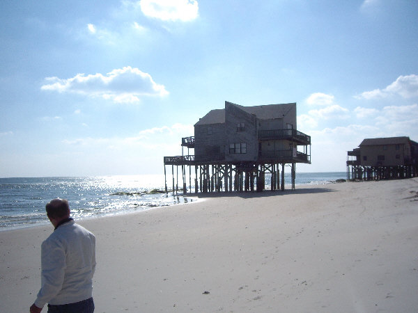
Fred and I did not know much about the area, so Joe thought that we ought to go get some breakfast and then drive over to a few places at the beach- one on Camp Lejeune and one on public property. So we piled in Joe's car and drove a couple of blocks to a small mom-and-pop restaurant for a surprisingly good breakfast before heading to the beach.
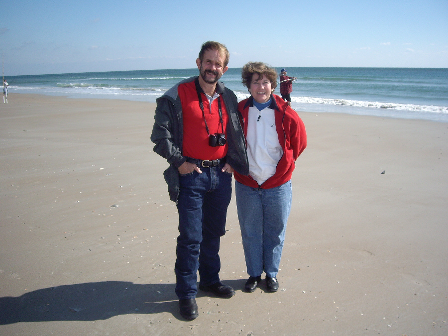
Walking the Beach
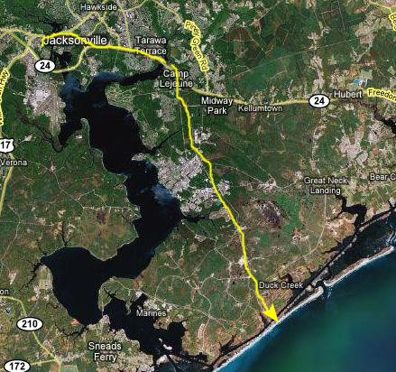 |
One of the things he can do is drive through the installation, sometimes going through areas that are off-limits to the public. We did not do that today, though, as Joe took a highway that actually just goes through the base on its way down the coast- a highway anyone can use. He turned off towards Onslow Beach, which is an area on base that military families can use during the year. There are beach houses that military families can sign up for and use; there are separate areas for officer and enlisted families (with the officer housing being slightly better than the enlisted, as usual).
Strolling Along the Beach
 |
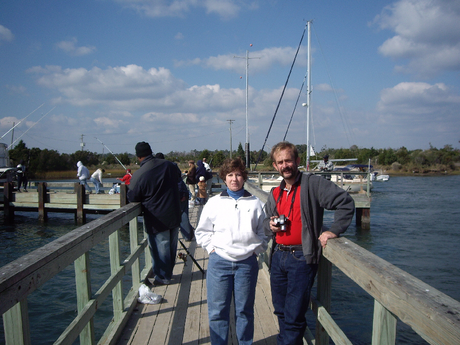
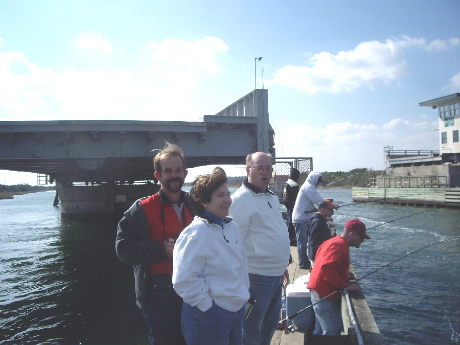
When our beach walk is done, we are going to stop and examine the bridge we came over; there seemed to be a lot of people around it- probably fishing.
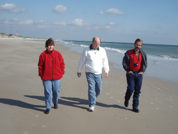 |
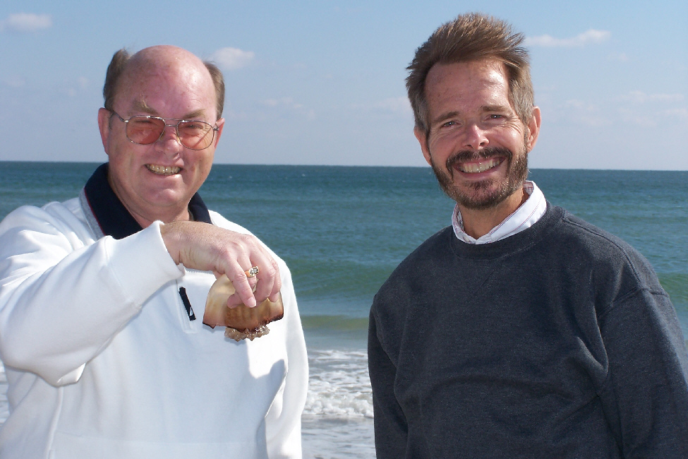
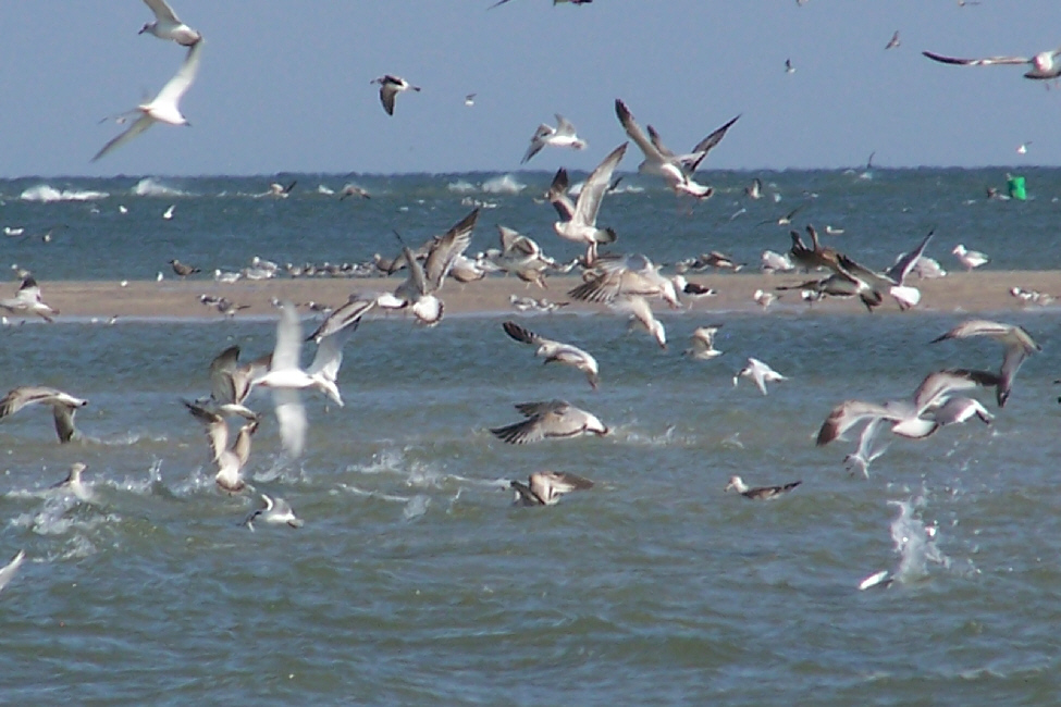
So we just began walking south along the beach, enjoying the day and seeing what we could see. After a ways, we noticed that Joe had dropped behind - looking for shells, Barbara told us, one of the things he likes to do at the beach. And there were a lot of them, some quite pretty, and I think each of us brought home a pocketful.
|
|
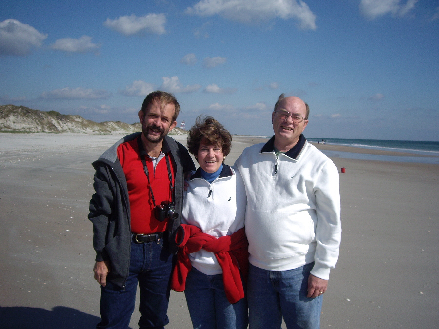
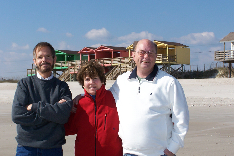
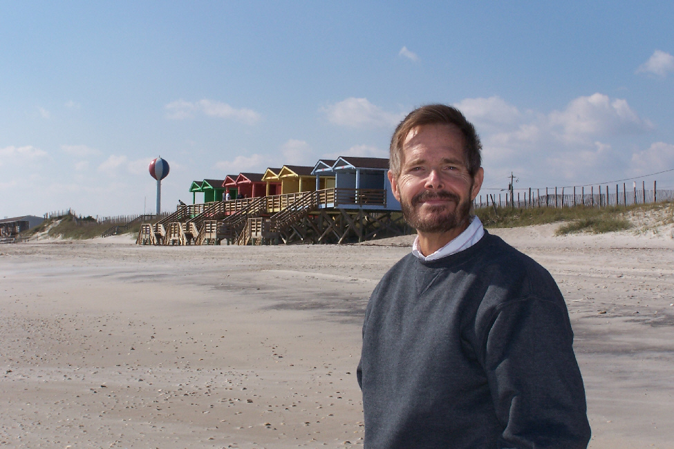
We spend over an hour just walking along the beach, looking for shells, talking and taking pictures. I've put thumbnails below for some of the best pictures Fred and I took. You can look at as many of the full-sized images as you like by clicking on the appropriate thumbnails:
 |
 |
 |
 |
 |
After a while, when we'd walked long enough, we headed back to the car.
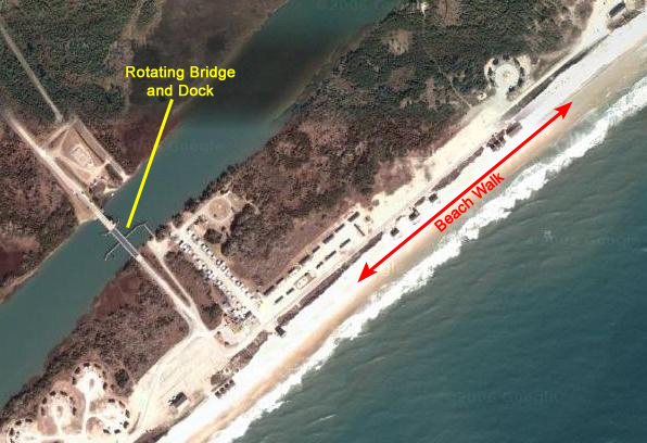
The Rotating Drawbridge
 |
|
|
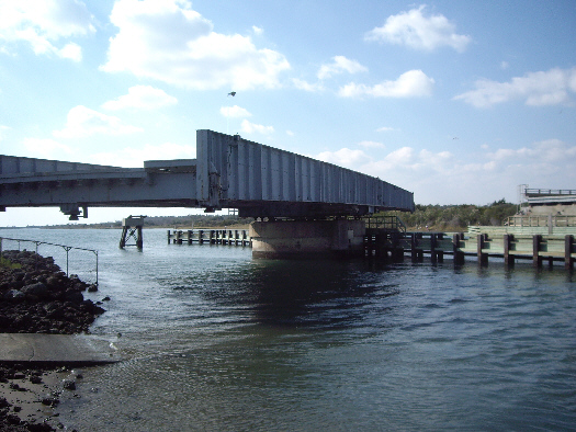
I guess I had expected the normal drawbridge, like the ones all over south Florida, but this one was different. The bridge was supported in the middle of the waterway on a pedestal, and when the bridge opened, it did not raise up but rather rotated on this pedestal, as you can see it doing in the picture at left. This seemed like a very odd design; much of the space across the water was taken up by the bridge even when fully open, so there would be a limit on how wide a boat could be to go through. But, on the other hand, there would be no limit to the height of a boat, unlike some bridges in Florida. But I suppose the real reason for the design would be that if it were a raised drawbridge, there would have to be approaches built on either side to raise the roadway enough to install the mechanism for the bridge, and there was just not that much room here.
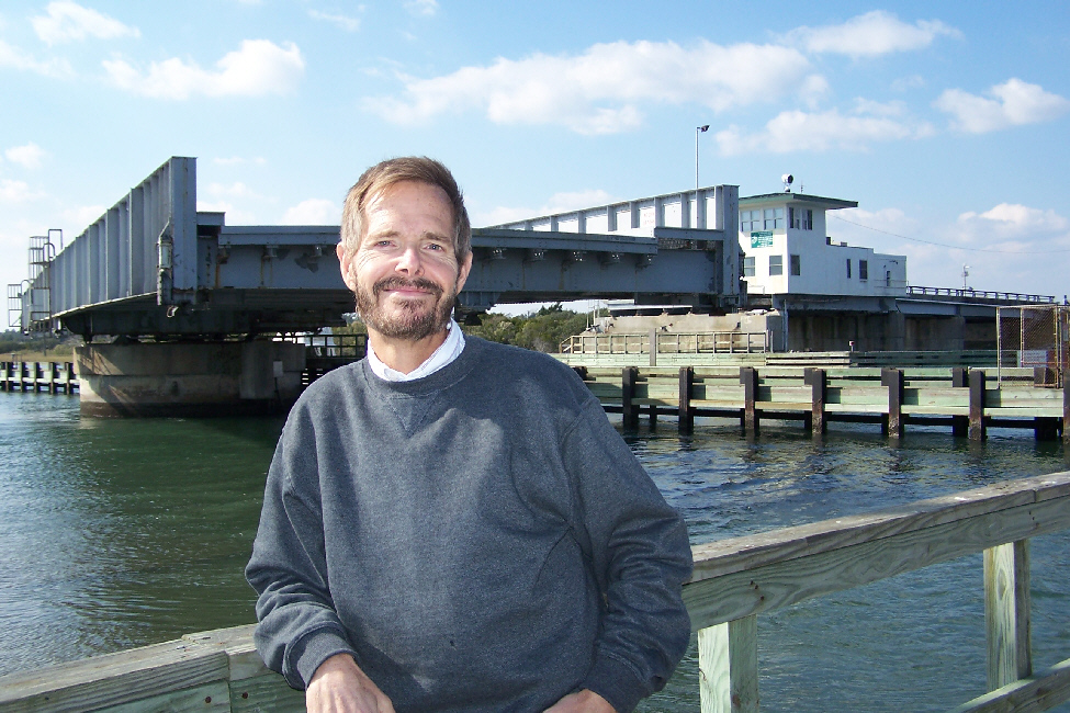
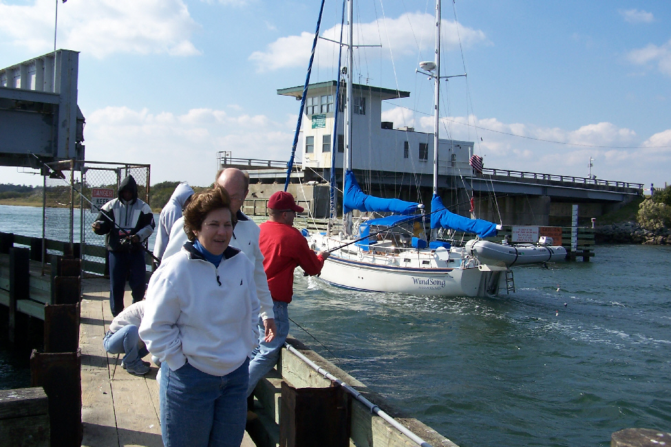
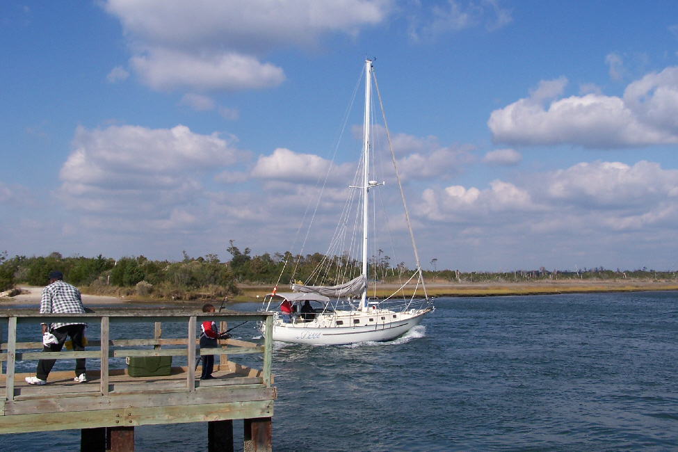
We all walked out on the dock, where we watched the bridge opening and where Joe and Barbara stood in the wind and watched the boats go past the dock and through the bridge opening. We were out on the dock about twenty minutes (better than sitting in the car on the roadway waiting), and both Fred and I took quite a few pictures. I have put thumbnails for some of these pictures below; to see the full-size images, just click on the thumbnails:
 |
 |
 |
 |
 |
Once the bridge had started to rotate back into a closed position, we left the dock and got back up on the road, ready to head south to our next destination.
Visiting the New River Inlet
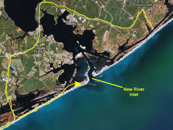 |
When we got to the end of the road, we just parked alongside the road and walked through a property on the beachfront to come out onto the beach itself.
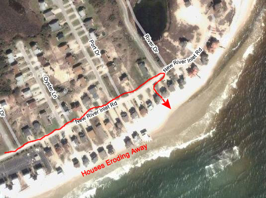 |
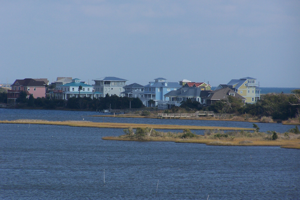
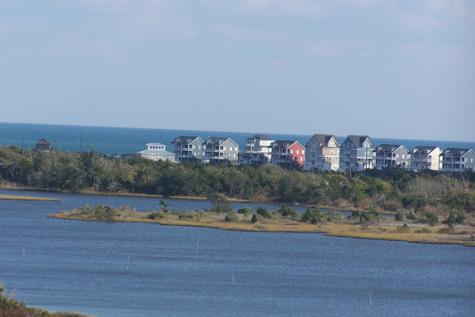
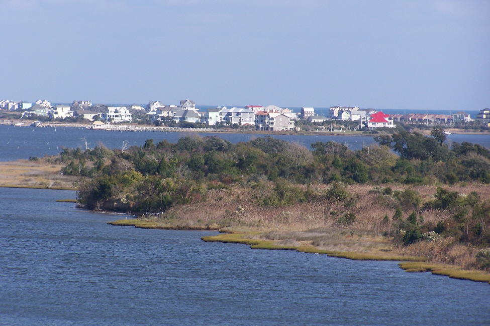
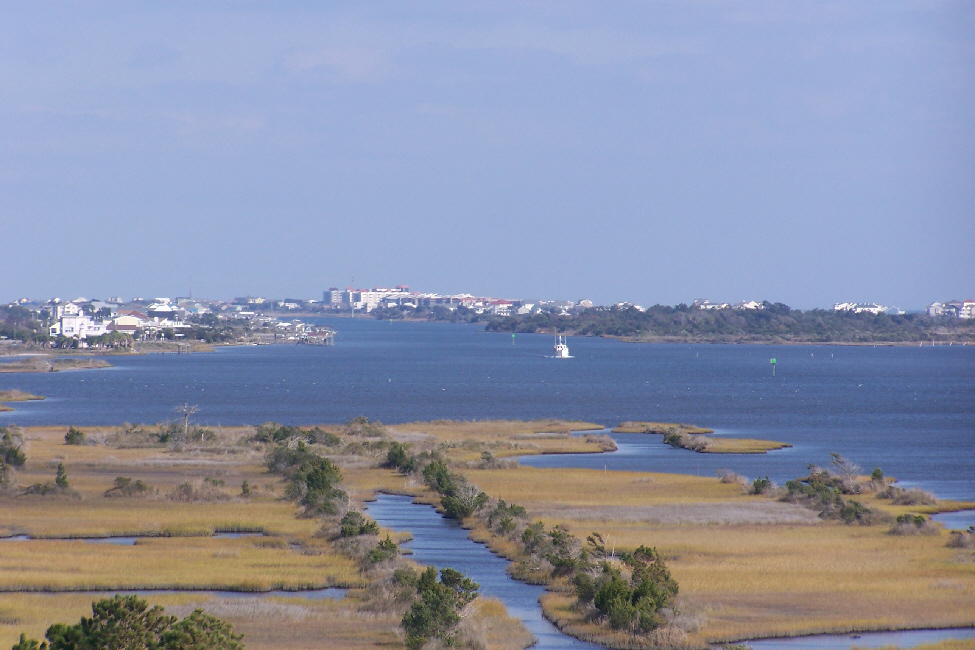
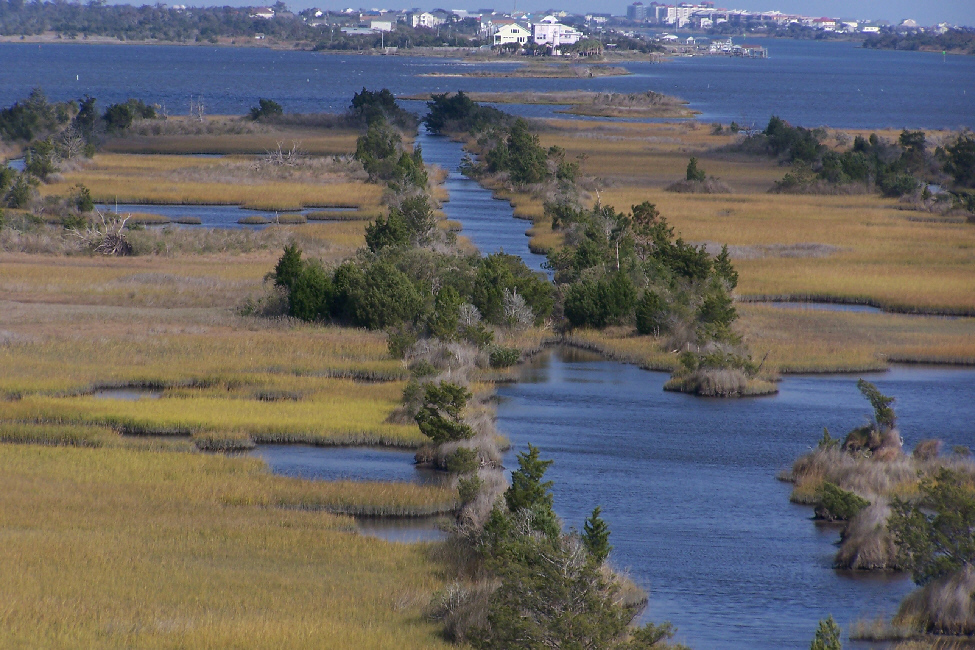
That's one reason why I wanted to supply an aerial view of the part of the beach where we arrived after parking the car. You can clearly see in the aerial view (and, of course in the pictures coming up) that there is/was an entire row of beachfront houses in front of the row currently occupied. And this front row of houses has and is being slowly destroyed by a combination of rising sea levels and more intense storms.
This destruction has not happened overnight. Apparently, the front row of houses date from the 1970s and 1980s; the newer houses along the street are only five years old or so; some are still under construction. So in the last twenty-five years, and entire row of houses has slowly been eaten away. Some have collapsed already and their debris removed. The ones you see in the aerial view are all unoccupied and condemned. Very sad for the folks who used to own them, but I sometimes wonder if the folks occupying the homes one row back think that mother nature will stop at the one row of houses and leave them alone. I think not.
As we drove up the beachfront road towards the inlet, we passed hundreds of relatively new houses that have been built here at the beach. Many of them are right along the beach, although some of the homes have been built away from the beach a couple of hundred feet or so. Many of these are homes along the Intracoastal. But we must have passed two or three hundred homes; this area is very crowded.
As I said, we parked and walked alongside one of the beach houses to get to the beach itself. If you look at the aerial view above, you'll see that we walked between two houses; this is the house on the left. You can see that the ocean has already come up to the foundation of even this house.
 |
Joe walked down towards the house a ways while Barbara and Fred looked down the beach at the amazing sight.
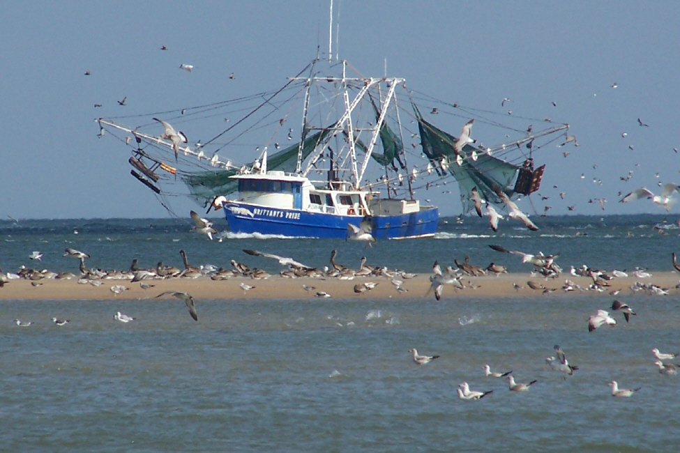
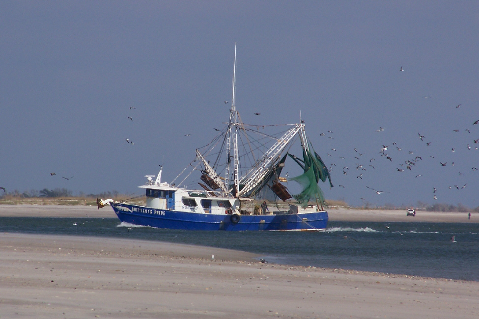
Before we left the beach, Fred took some pictures of the boat traffic around the mouth of the inlet, and I have put thumbnails for four of the best of these below. To see the full-size pictures, just click on the thumbnails:
 |
 |
 |
 |
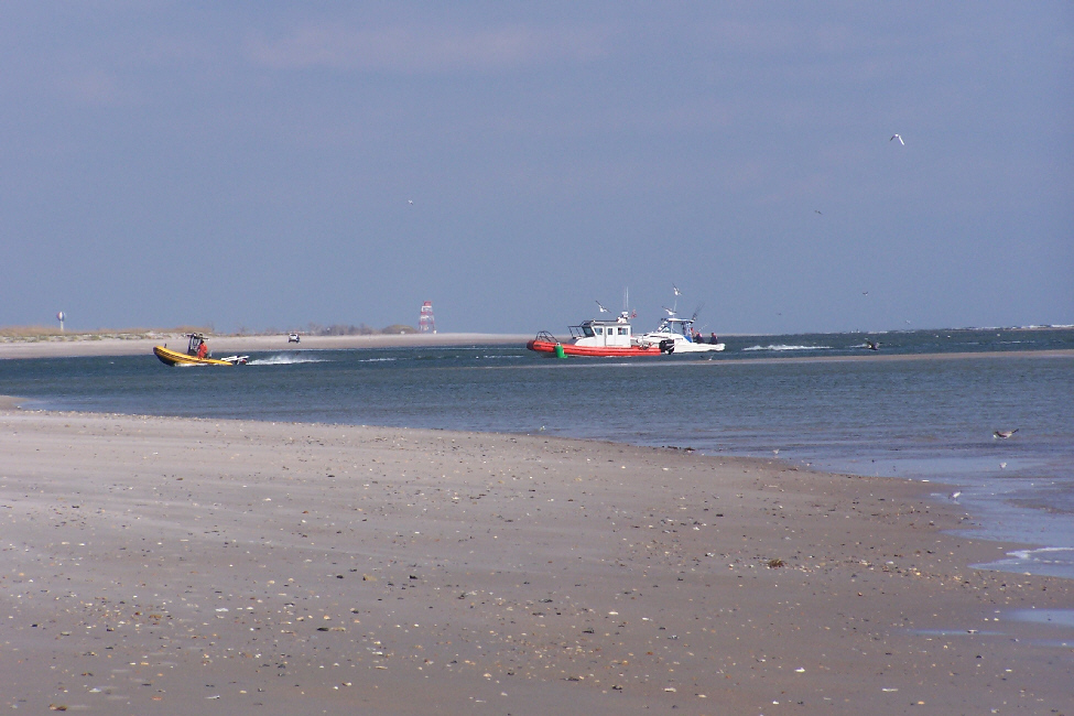
As we drove back across the bridge to Snead's Ferry, Fred took a number of pictures looking north of the marshes, the Intracoastal, the many homes and condominiums and the ocean. I've put thumbnails for some of these below; to see the full-size pictures, just click on the thumbnails:
 |
 |
 |
 |
 |
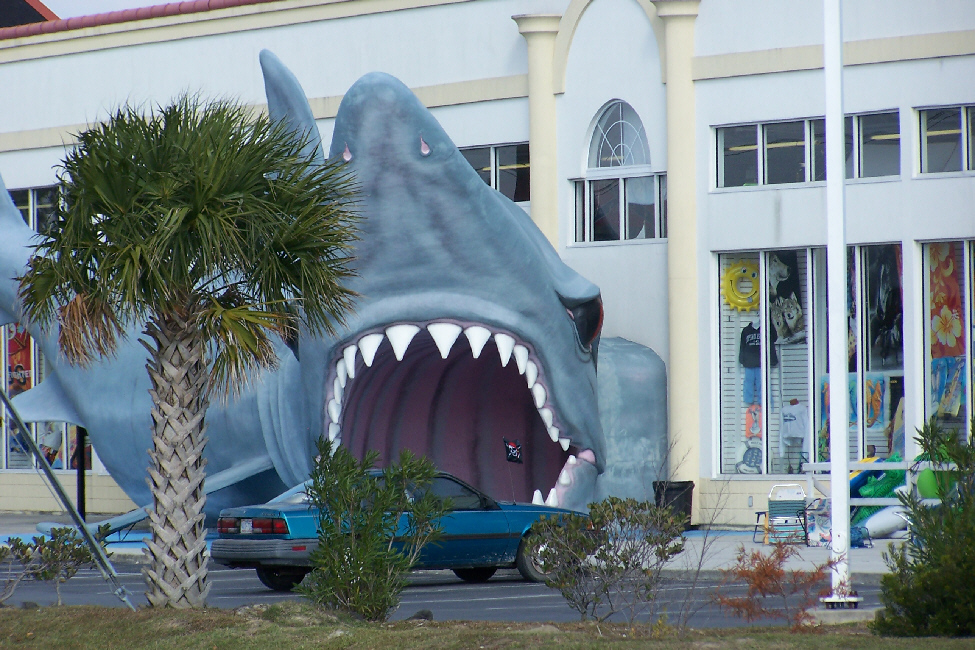
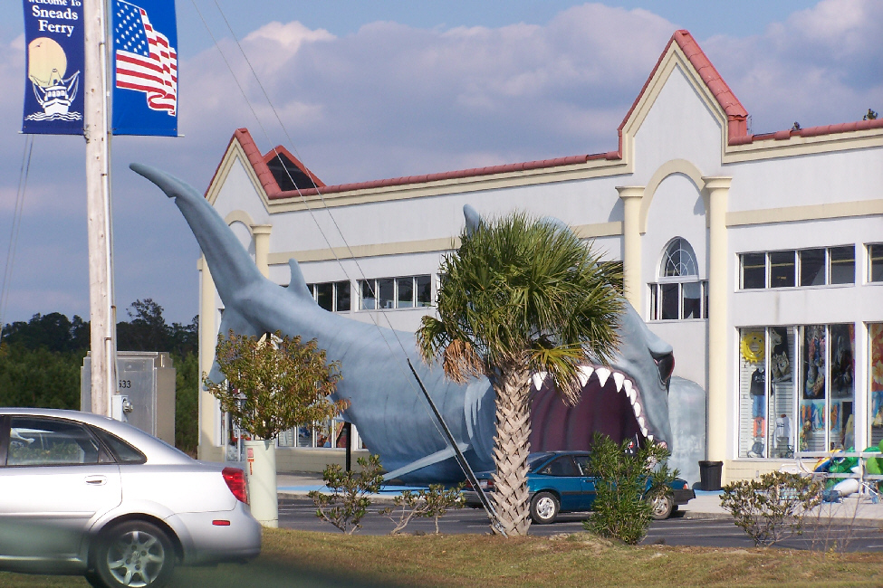
Finally, as we drove back through Snead's Ferry to Highway 17, Fred saw an amusing display outside a store selling boating supplies. To see this display (and I think you should), just click on the thumbnails below:
 |
 |
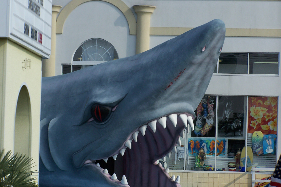 |
We went back to Joe and Barbara's house, and had a chance for a final visit before we reluctantly headed off down the coast towards Savannah.
Driving to Savannah
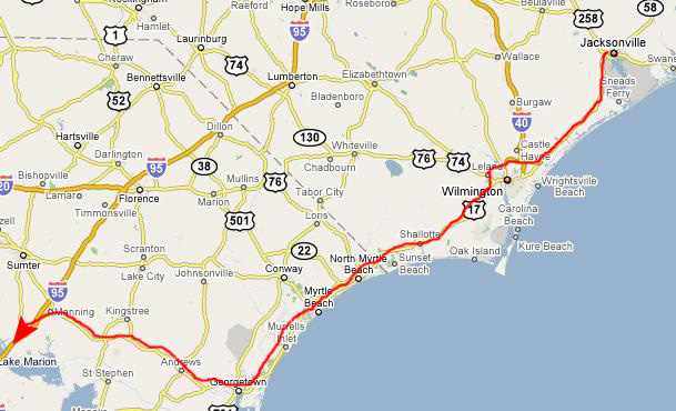 |
We left Jacksonville and headed south on US17, the same highway that we'd returned on from Snead's Ferry earlier in the day. This highway took us all the way to Wilmington, where we took the bypass expressway around the city. Then we continued south on US17. We passed into South Carolina at Calabash; although this area has great seafood, it was way too early to stop for dinner. Just before we got into Myrtle Beach, I found a Baskin-Robbins I had never visited before, so we stopped for a scoop.
Then we went through Myrtle Beach. There is no bypass here, but in any event I was trying to find the store that I had shopped at some years ago and found so much really neat buffalo stuff for Fred. I thought I remembered what the shop had looked like, but the area had changed so much that it was either gone, or I missed it. We continued down the highway to Georgetown.
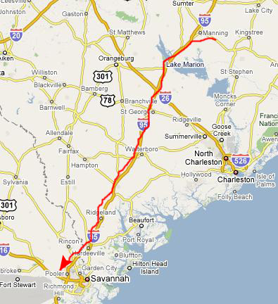
At Georgetown, we figured that continuing down through Charleston would take too much time, so we headed west towards I-95. We had a bit of excitement when we went through the town of Andrews, SC. I was doing about 35 down the main street of Andrews when three small deer appeared in my headlights and, as the stories go, they froze. I swerved, but could not avoid hitting one of them. We stopped a few blocks up the road to check the car, but it was fine. From there, the trip to I-95 was uneventful and it was dark when we got to it.
 |
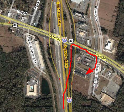
Dinner and Hotel
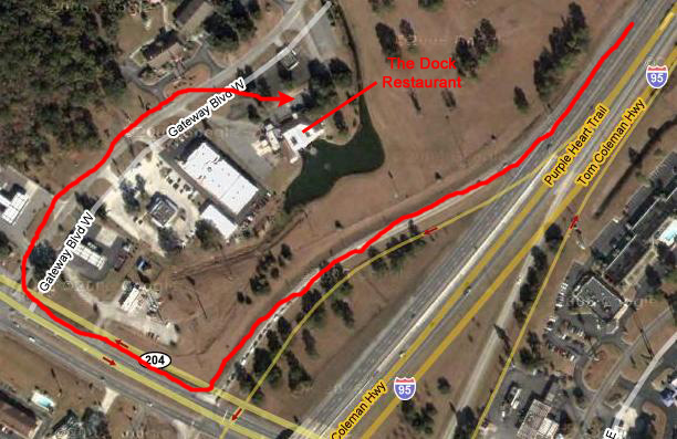 |
The restaurant was busy, but we got seated right away. We both had seafood platters, and the food was really good, if just a little pricey.
 |
You can return to today's index or use the links below to continue to another photo album page.
|
November 11, 2007: Georgia/North Carolina Trip Day 9 |
|
November 9, 2007: Georgia/North Carolina Trip Day 7 |
|
Return to Main Index for Georgia/North Carolina Trip |