|
Buffalo and Niagara Falls (September 19) |
|
Acadia National Park- Day 3 (September 17) |
|
Return to the New England Trip Master Index |
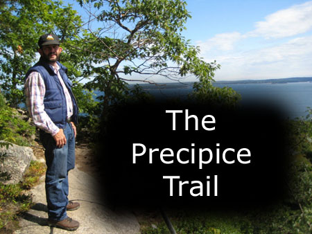
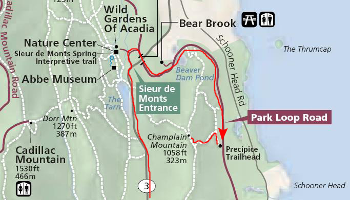
Climbing the Precipice Trail
 |
You might recall that on our first day here, when we climbed to the top of Champlain Mountain, we tried descending the Precipice Trail. Two things stopped us. First, we would have to walk quite a ways back to the car. But, more important, both of us (yes, me too) got cold feet when we saw the exposed rock ledges and iron handholds. I kept envisioning losing my grip and falling backwards, and that put my usual recklessness in check. But we thought it might be different were we to climb UP the trail, and get a feel for it before we had to go down it.
So, we stopped at the trailhead and got our stuff together for the hike up. It was chilly at the bottom of the mountain, so I was layered, but, as we climbed, it got warmer and the exertion took its toll as well. You may notice in the pictures that first one layer of my clothing disappears, then a second. At one point just off the trail, I found a place where I could leave the excess clothing and pick it up on the way down. Fred left something as well.
The trail was pretty amazing; a lot of work went into building it. There were bridges, rock tunnels, ladders and hand-holds across sheer rock faces. We were OK until we got maybe 80% of the way up the trail. There, the next stairway up the rock face actually bowed out from the rock, and for some reason this really unnerved me. We sat for quite a while on the ledge while I tried to work up the nerve to complete the ascent, but, in the end, my fears won out.
|
Fred left his camera in the car, since he can't put his in his pocket. Other than the first picture at the trailhead, the rest of them were mine. I took a great many pictures, almost all of them worth looking at, but there were far too many to include here. As it is, I've only been able to reduce the total to 24. Although some were taken on the way up and some on the way down, I have put them all in order of the ascent. And to make it easy for you to follow us along, I've put these pictures into a slideshow- in sequence. That slideshow is at left.
To view the slideshow, just click on the image at left and I will open the slideshow in a new window. In the slideshow, you can use the little arrows in the lower corners of each image to move from one to the next, and the index numbers in the upper left of each image will tell you where you are in the series. When you are finished looking at the pictures, just close the popup window.
During our hike up the Precipice Trail, I did take a number of movies, and I want to include three of them here. One was taken shortly after we started out on the trail (#1), the second was made as we crossed a "boulder avalanche" about a third of the way up (#2) and when we encountered the wooden bridge hanging on the side of the cliff about halfway up, I filmed a third movie (#3). You can watch all these movies using the players below:
|
|
|
|
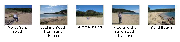
Sand Beach
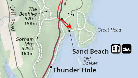 |
We wanted to walk out to the headland and climb up to see what views there were, but there was an obstacle. At low tide, the sand beach is dry all the way to the headland, but as the tide comes in, an estuary forms, and the water quickly gets more than two feet deep. With our jeans on, there would be no way to avoid getting them wet. While we were standing at the side of the estuary, some folks that had gone out to the headland much earlier were returning, only to find out that they'd have to get wet to get back to the beach!
We took a few other good pictures here at sand beach. Click on the thumbnail images below to look at them:
|
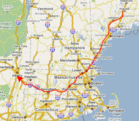
Our Drive to Albany, NY
 |
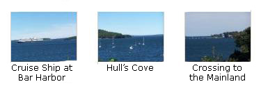
During our drive off of Mount Desert Island, Fred had an opportunity to take a few final pictures, and we've included them here. Click on the thumbnail images below to view the pictures:
|
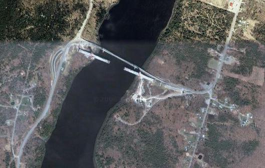
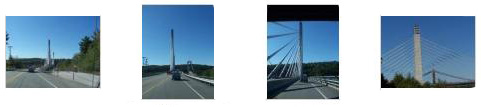
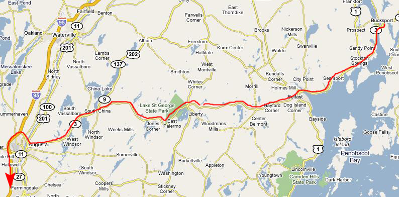
Well, to begin our drive home, we followed Maine Route 3 a few miles north until it intersected with US-1. (This is the same highway that goes all the way down the East Coast to Key West, FL. We followed this highway west into and around the town of Bucksport. Just south of Bucksport, we have to cross the Penobscot Narrows.
 |
|
 |
 |
 |
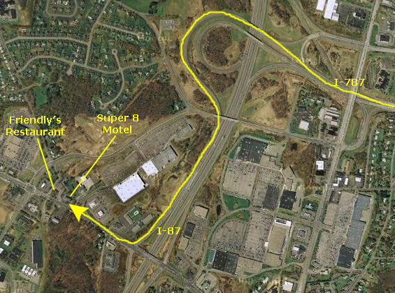 |
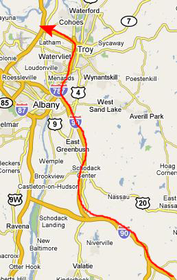
I-787 winds around north of Albany, and intersects with I-87, and all we had to do was take one exit south to the Latham exit, and the Super 8 Motel was on our right.
You can use the links below to continue to another album page.
|
Buffalo and Niagara Falls (September 19) |
|
Acadia National Park- Day 3 (September 17) |
|
Return to the New England Trip Master Index |